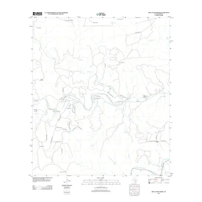
2012 Map of Bee Caves Creek
USGS Topo · Published 2012About this map
The N Fork Guadalupe River and S Fork Guadalupe River dominate this Central Texas landscape, where large-scale ranching and riverfront activity define the local geography. Significant holdings like Patio Ranch and MO Ranch span the terrain, the latter featuring Cullum Lake. This area is notable for its private aviation and summer camp history, anchored by Priour Ranch Airport and the well-known Camp Waldemar on the banks of the north fork.
Find a feature on this map
61 named features on this map. Tap any name to fly to it.
Don’t see what you’re looking for? This feature index may not catch every label — zoom into the map to look around manually.
Map Details
Editions of this 2012 Bee Caves Creek Map
This is the sole edition of this map. No revisions or reprints were ever made.
Other maps of this area

1894 · Kerrville
USGS Topo · 1:125,000

1954 · Llano
USGS Topo · 1:250,000

1954 · San Antonio
USGS Topo · 1:250,000

1955 · Llano
USGS Topo · 1:250,000

1956 · Tuff
USGS Topo · 1:62,500

1956 · Llano
USGS Topo · 1:250,000

1957 · San Antonio
USGS Topo · 1:250,000

1964 · Boneyard Draw
USGS Topo · 1:24,000

1964 · Well Hollow
USGS Topo · 1:24,000

1964 · Diamond S Ranch
USGS Topo · 1:24,000