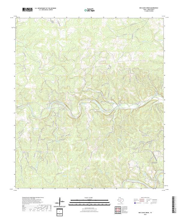
2022 Map of Bee Caves Creek
USGS Topo · Published 2022About this map
The North Fork Guadalupe River and South Fork Guadalupe River carve through this Hill Country landscape, defining a network of steep drainages and upland plateaus. The region is marked by numerous natural springs, including Honey Springs, Bee Caves Spring, and Mystic Springs, which historically supported ranching operations in this portion of Kerr County. Private aviation hubs like Priour Ranch Airport and Comanche Caves Ranch Airport suggest the modern land use patterns of large estate holdings and remote ranching access. Prominent terrain features such as Bluff Hill and Cedar Cliff overlook the winding river valleys. A complex network of local ranch roads, such as Bear Creek Scout Rd and Duderstat Byway Rd W, provides connectivity across the deep ravines and limestone ridges characteristic of the Bee Caves Creek drainage area.
Find a feature on this map
96 named features on this map. Tap any name to fly to it.
Don’t see what you’re looking for? This feature index may not catch every label — zoom into the map to look around manually.
Map Details
Editions of this 2022 Bee Caves Creek Map
This is the sole edition of this map. No revisions or reprints were ever made.
Other maps of this area

1894 · Kerrville
USGS Topo · 1:125,000

1954 · Llano
USGS Topo · 1:250,000

1954 · San Antonio
USGS Topo · 1:250,000

1955 · Llano
USGS Topo · 1:250,000

1956 · Tuff
USGS Topo · 1:62,500

1956 · Llano
USGS Topo · 1:250,000

1957 · San Antonio
USGS Topo · 1:250,000

1964 · Boneyard Draw
USGS Topo · 1:24,000

1964 · Well Hollow
USGS Topo · 1:24,000

1964 · Diamond S Ranch
USGS Topo · 1:24,000