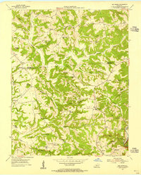
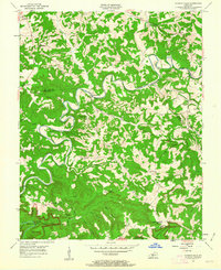
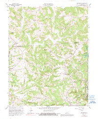
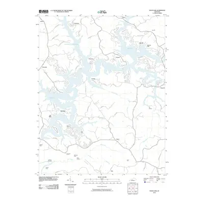
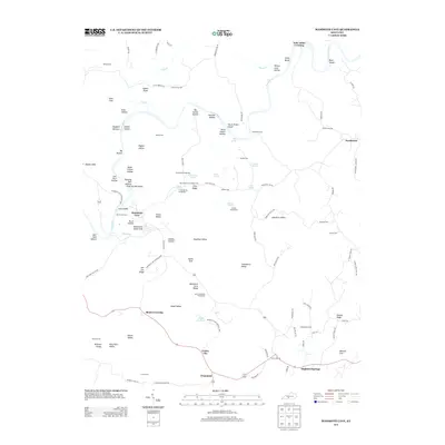
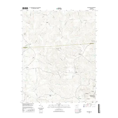
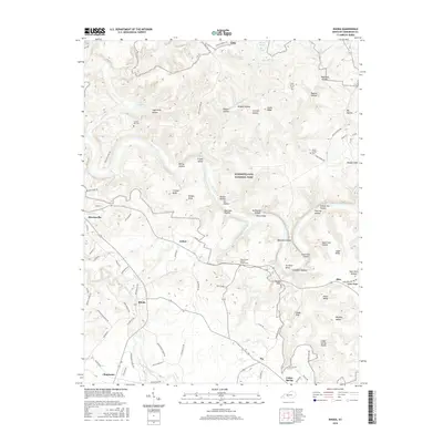
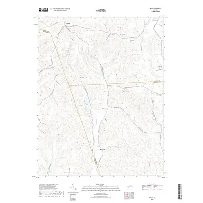
1953 Map of Bee Spring
USGS Topo · Published 1955About this map
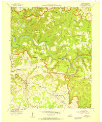
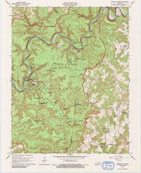
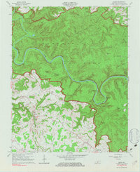
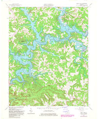
The Nolin River carves the southeastern boundary of this mid-century survey, a region defined by the deep dissection of the plateau between Grayson Co and Edmonson Co. Rural life in the 1950s is centered around a network of one-room schools and community churches, including Bethel Sch, Vincent Sch, and New Harmony Ch. The settlement pattern follows the ridgelines above steep hollows like Bear Creek and Sunfish Creek, with clusters of activity at Bee Spring and the crossroads of Sweeden.
Find a feature on this map
53 named features on this map. Tap any name to fly to it.
Don’t see what you’re looking for? This feature index may not catch every label — zoom into the map to look around manually.
Map Details
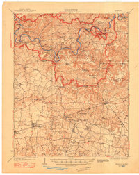
Editions of this 1953 Bee Spring Map
This is the sole edition of this map. No revisions or reprints were ever made.
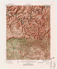
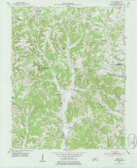
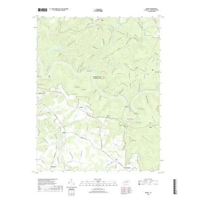
Historical Maps of Woodside Through Time
35 maps found
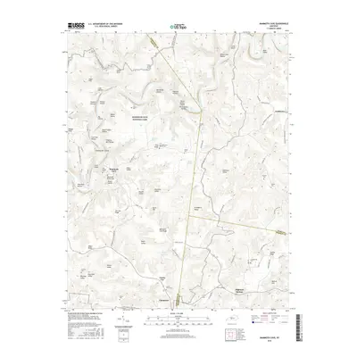
1922 Mammoth Cave
Edmonson County, KY
1923 Mammoth Cave
Edmonson County, KY
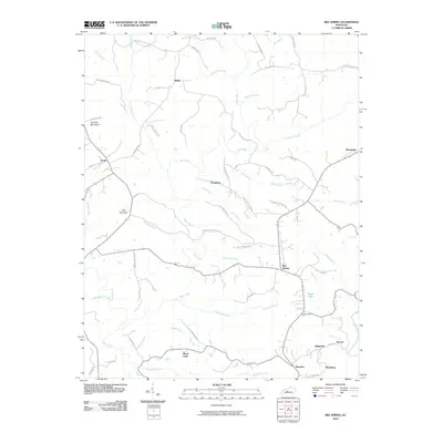
1953 Bee Spring
Edmonson County, KY
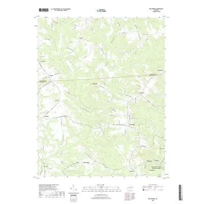
1953 Ready
Edmonson County, KY
1954 Dickeys Mills
Edmonson County, KY
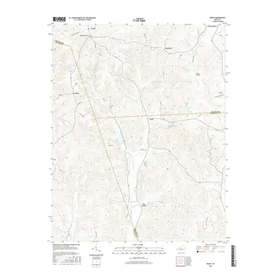
1954 Rhoda
Edmonson County, KY
1965 Mammoth Cave
Edmonson County, KY
1965 Rhoda
Edmonson County, KY
1966 Bee Spring
Edmonson County, KY
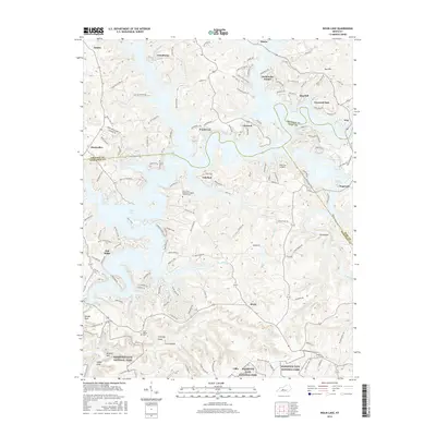
1966 Nolin Lake
Edmonson County, KY
2010 Bee Spring
Edmonson County, KY
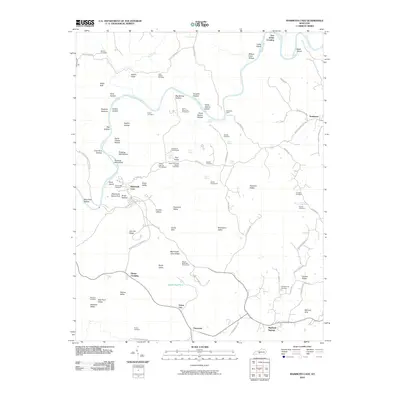
2010 Mammoth Cave
Edmonson County, KY
2010 Nolin Lake
Edmonson County, KY
2010 Ready
Edmonson County, KY
2010 Rhoda
Edmonson County, KY
2013 Bee Spring
Edmonson County, KY
2013 Mammoth Cave
Edmonson County, KY
2013 Nolin Lake
Edmonson County, KY
2013 Ready
Edmonson County, KY
2013 Rhoda
Edmonson County, KY
2016 Bee Spring
Edmonson County, KY
2016 Mammoth Cave
Edmonson County, KY
2016 Nolin Lake
Edmonson County, KY
2016 Ready
Edmonson County, KY
2016 Rhoda
Edmonson County, KY
2019 Bee Spring
Edmonson County, KY
2019 Mammoth Cave
Edmonson County, KY
2019 Nolin Lake
Edmonson County, KY
2019 Ready
Edmonson County, KY
2019 Rhoda
Edmonson County, KY
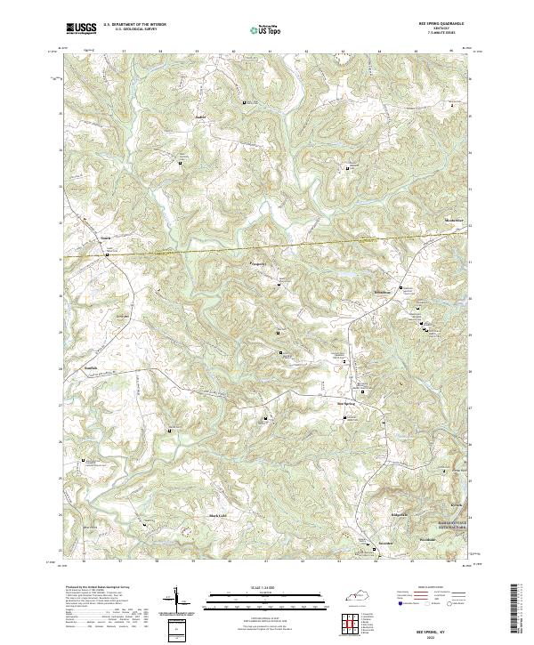
2022 Bee Spring
Edmonson County, KY
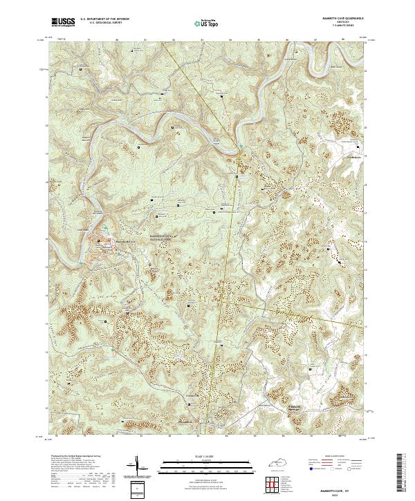
2022 Mammoth Cave
Edmonson County, KY
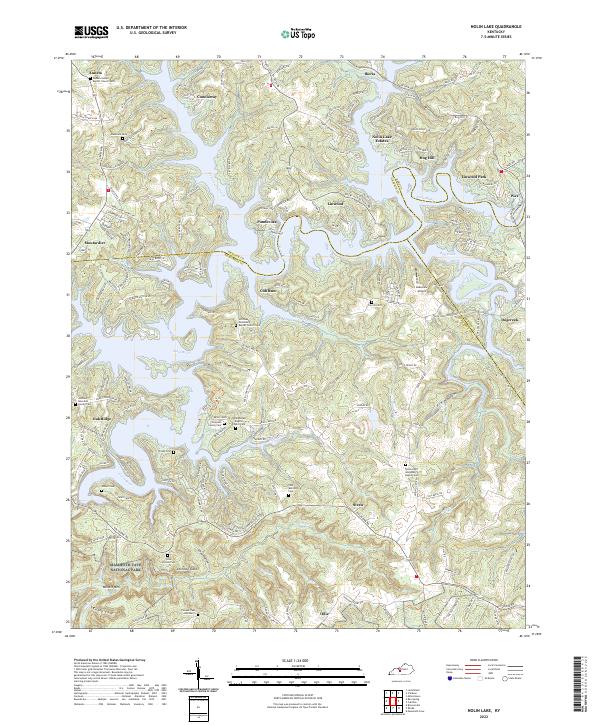
2022 Nolin Lake
Edmonson County, KY
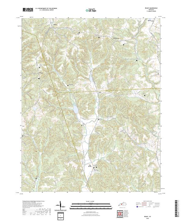
2022 Ready
Edmonson County, KY
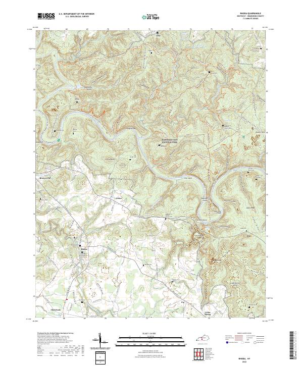
2022 Rhoda
Edmonson County, KY