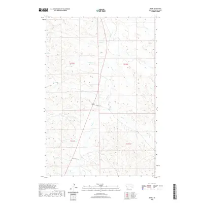
2020 Map of Beebe
USGS Topo · Published 2020About this map
Beebe stands as the central point of this high-plains landscape, where the confluence of several seasonal drainages defines the local geography. The area is dominated by the winding course of Pumpkin Cr, which is fed by numerous tributaries including Fire Cr, Rough Cr, and Deer Cr. This network of creeks suggests a traditional ranching environment where water sources dictated the placement of early routes like Powderville Rd.
Find a feature on this map
20 named features on this map. Tap any name to fly to it.
Don’t see what you’re looking for? This feature index may not catch every label — zoom into the map to look around manually.
Map Details
Editions of this 2020 Beebe Map
This is the sole edition of this map. No revisions or reprints were ever made.
Other maps of this area

1953 · Miles City
USGS Topo · 1:250,000

1954 · Ekalaka
USGS Topo · 1:250,000

1956 · Ekalaka
USGS Topo · 1:250,000

1957 · Miles City
USGS Topo · 1:250,000

1958 · Miles City
USGS Topo · 1:250,000

1958 · Ekalaka
USGS Topo · 1:250,000

1965 · Ekalaka
USGS Topo · 1:250,000

1969 · Horse Creek
USGS Topo · 1:24,000

1969 · First Creek
USGS Topo · 1:24,000

1969 · Loaf of Bread Butte
USGS Topo · 1:24,000