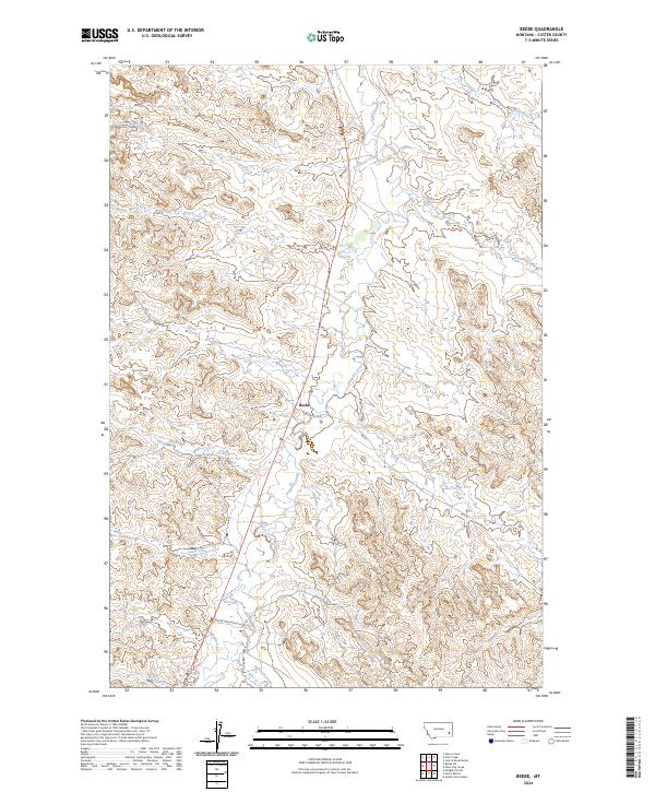
2024 Map of Beebe
USGS Topo · Published 2024About this map
Beebe serves as the central focal point in this portion of Custer County, situated where the Powderville Rd meets Rd 552. This landscape is defined by a dense network of intermittent drainage systems that feed into Pumpkin Creek, which bisects the quadrangle from north to south. The drainage patterns, including LaGrange Creek, Jim Creek, and Chinnick Creek, suggest a landscape historically shaped by ranching and seasonal water management. South of the main settlement, Beaver Slide Ranch Rd cuts across the terrain near Maggie Creek, pointing to the long-standing agricultural and ranching operations that characterize the region. The map also captures the varied topography between Third Creek and Fourth Creek, illustrating the remote but structured division of townships and ranges including t4n r49e and t3n r50e.
Find a feature on this map
20 named features on this map. Tap any name to fly to it.
Don’t see what you’re looking for? This feature index may not catch every label — zoom into the map to look around manually.
Map Details
Editions of this 2024 Beebe Map
This is the sole edition of this map. No revisions or reprints were ever made.
Other maps of this area

1953 · Miles City
USGS Topo · 1:250,000

1954 · Ekalaka
USGS Topo · 1:250,000

1956 · Ekalaka
USGS Topo · 1:250,000

1957 · Miles City
USGS Topo · 1:250,000

1958 · Miles City
USGS Topo · 1:250,000

1958 · Ekalaka
USGS Topo · 1:250,000

1965 · Ekalaka
USGS Topo · 1:250,000

1969 · Horse Creek
USGS Topo · 1:24,000

1969 · First Creek
USGS Topo · 1:24,000

1969 · Loaf of Bread Butte
USGS Topo · 1:24,000