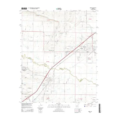
2014 Map of Beebe
USGS Topo · Published 2014About this map
Beebe and its neighboring communities of Ward and Austin define this landscape along the border of White and Lonoke counties. The area is dominated by a grid of rural residential development and agricultural land, interspersed with significant institutional and historical markers. The presence of Arkansas State University-Beebe anchors the northern part of Beebe, while the surrounding countryside is dotted with small settlements like Apple Hill and Barrentine Corner.
Find a feature on this map
155 named features on this map. Tap any name to fly to it.
Don’t see what you’re looking for? This feature index may not catch every label — zoom into the map to look around manually.
Map Details
Editions of this 2014 Beebe Map
This is the sole edition of this map. No revisions or reprints were ever made.
Other maps of this area

1891 · Little Rock
USGS Topo · 1:125,000

1893 · Little Rock
USGS Topo · 1:125,000

1940 · Lonoke
USGS Topo · 1:62,500

1941 · Cabot
USGS Topo · 1:31,680

1948 · Helena
USGS Topo · 1:250,000

1949 · Lonoke
USGS Topo · 1:62,500

1950 · Helena
USGS Topo · 1:250,000

1950 · Lonoke
USGS Topo · 1:62,500

1953 · Memphis
USGS Topo · 1:250,000
1954 · Cabot
USGS Topo · 1:24,000