Loading...
Loading map...2024 Map of Beebe
USGS Topo · Published 2024About this map
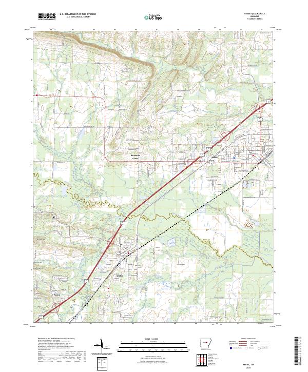
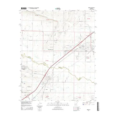
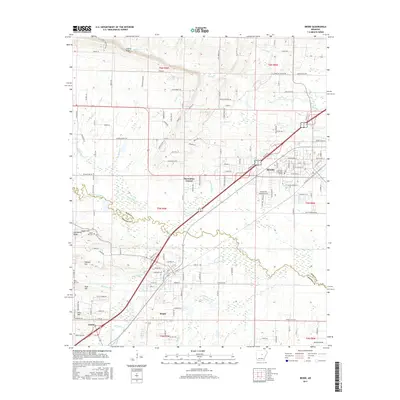
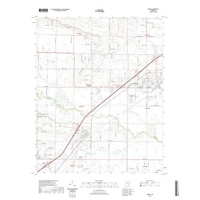
Beebe sits at the intersection of early transportation and modern education in White County, anchored by the campus of Arkansas State University Beebe. The landscape transitions from the higher elevations of Cadron Ridge in the north toward the marshy lowlands of Cypress Bayou and Magness Creek to the south. This corridor is defined by the historic progression of settlements like Ward and Austin, which grew along the railroad and highway routes.
Find a feature on this map
98 named features on this map. Tap any name to fly to it.
Don’t see what you’re looking for? This feature index may not catch every label — zoom into the map to look around manually.
Map Details
Date Portrayed2024
Date Published2024
PublisherU.S. Geological Survey
Map TypeTopographic
Scale1:24,000
Physical Dimensions24 x 29 inches
Editions of this 2024 Beebe Map
This is the sole edition of this map. No revisions or reprints were ever made.
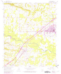
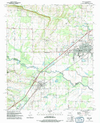
Historical Maps of Beebe Through Time
7 maps found
Featured Locations
Source Details
SourceU.S. Geological Survey
CopyrightPublic Domain