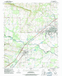
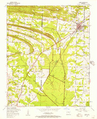
1994 Map of Beebe
USGS Topo · Published 1994About this map
Beebe and its surrounding communities in White and Lonoke counties are defined by a complex network of waterways and the Union Pacific rail line. The landscape is marked by the prominent Cadron Ridge in the north and numerous hills including Apple Hill and Lewisburg Ridge. The central focus is the growing hub of Beebe, featuring the campus of Arkansas State University-Beebe, an Athletic Field, and the Armory.
Find a feature on this map
57 named features on this map. Tap any name to fly to it.
Don’t see what you’re looking for? This feature index may not catch every label — zoom into the map to look around manually.
Map Details
Editions of this 1994 Beebe Map
This is the sole edition of this map. No revisions or reprints were ever made.
Other maps of this area

1891 · Little Rock
USGS Topo · 1:125,000

1893 · Little Rock
USGS Topo · 1:125,000
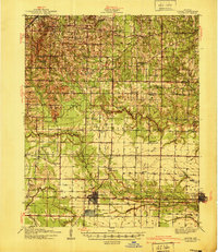
1940 · Lonoke
USGS Topo · 1:62,500
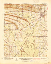
1941 · Cabot
USGS Topo · 1:31,680

1948 · Helena
USGS Topo · 1:250,000
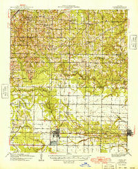
1949 · Lonoke
USGS Topo · 1:62,500

1950 · Helena
USGS Topo · 1:250,000
1950 · Lonoke
USGS Topo · 1:62,500

1953 · Memphis
USGS Topo · 1:250,000
1954 · Cabot
USGS Topo · 1:24,000