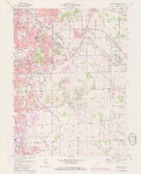
1967 Map of Beech Grove
USGS Topo · Published 1980About this map
The rail-driven hub of Beech Grove serves as the focal point of this suburbanizing landscape on the outskirts of Indianapolis. Massive rail facilities belonging to Conrail dominate the north-central portion of the map, illustrating the area's industrial backbone. Surrounding these yards, a dense network of neighborhoods like Sunnyview and Rosedale Hills gives way to more expansive townships in Franklin and Perry. The map captures the post-war transition of south-central Indiana from rural farmsteads to planned subdivisions, punctuated by local landmarks like the Indianapolis Tabernacle and Skyway Airport.
Find a feature on this map
89 named features on this map. Tap any name to fly to it.
Don’t see what you’re looking for? This feature index may not catch every label — zoom into the map to look around manually.
Map Details
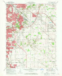
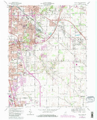
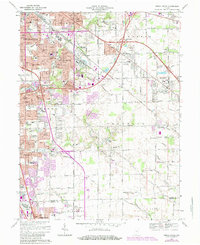
Editions of this 1967 Beech Grove Map
4 editions found
Other maps of this area

1948 · Indianapolis East
USGS Topo · 1:24,000

1948 · Maywood
USGS Topo · 1:24,000

1948 · Beech Grove
USGS Topo · 1:24,000

1948 · Indianapolis West
USGS Topo · 1:24,000

1952 · Cumberland
USGS Topo · 1:24,000

1952 · Bargersville
USGS Topo · 1:24,000

1953 · Greenwood
USGS Topo · 1:24,000

1953 · Acton
USGS Topo · 1:24,000

1953 · Boggstown
USGS Topo · 1:24,000

1953 · Cincinnati
USGS Topo · 1:250,000
Featured Places
- Indianapolis, IN
- Greenwood, IN
- Beech Grove, Indianapolis
- Homecroft, Indianapolis
- Ingallston, Beech Grove