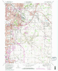
1967 Map of Beech Grove
USGS Topo · Published 1984About this map
The industrial and suburban expansion of Indianapolis defines this landscape during the mid-to-late 20th century, centered on the significant rail hub of Beech Grove. The Conrail lines and extensive repair shops anchor the local economy, surrounded by a dense network of residential developments like Rosedale Hills and Perry Manor. This era of growth is underscored by the establishment of numerous parochial and public institutions, including Our Lady of Grace Sch and Beech Grove High Sch.
Find a feature on this map
85 named features on this map. Tap any name to fly to it.
Don’t see what you’re looking for? This feature index may not catch every label — zoom into the map to look around manually.
Map Details
Editions of this 1967 Beech Grove Map
4 editions found
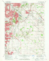
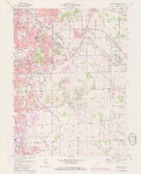
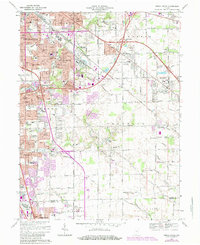
Other maps of this area

1948 · Indianapolis East
USGS Topo · 1:24,000

1948 · Maywood
USGS Topo · 1:24,000

1948 · Beech Grove
USGS Topo · 1:24,000

1948 · Indianapolis West
USGS Topo · 1:24,000

1952 · Cumberland
USGS Topo · 1:24,000

1952 · Bargersville
USGS Topo · 1:24,000

1953 · Greenwood
USGS Topo · 1:24,000

1953 · Acton
USGS Topo · 1:24,000

1953 · Boggstown
USGS Topo · 1:24,000

1953 · Cincinnati
USGS Topo · 1:250,000
Featured Places
- Indianapolis, IN
- Greenwood, IN
- Beech Grove, Indianapolis
- Homecroft, Indianapolis
- Ingallston, Beech Grove