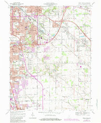
1967 Map of Beech Grove
USGS Topo · Published 1984About this map
The city of Beech Grove and the southeastern outskirts of Indianapolis are documented here during a period of significant suburban expansion in Marion County. The landscape is defined by the heavy infrastructure of the Conrail rail lines and the intersection of major thoroughfares like Interstate 465 and Interstate 65. Amidst this mid-century growth, numerous parochial institutions such as Holy Name Sch and Our Lady of Grace Sch serve the local neighborhoods. Further south, the map transitions into the expanding residential developments of Southport and Greenwood, where the terrain is marked by the winding paths of Buck Creek and Pleasant Run. For genealogists and local historians, this survey provides a precise look at the placement of the New Crown Cemetery and St Johns Cem, as well as the early layouts of community anchors like the Indianapolis Tabernacle and Chartrand High Sch.
Find a feature on this map
84 named features on this map. Tap any name to fly to it.
Don’t see what you’re looking for? This feature index may not catch every label — zoom into the map to look around manually.
Map Details
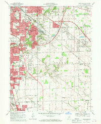
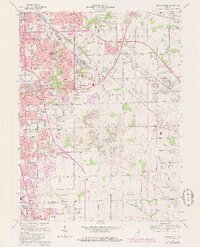
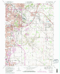
Editions of this 1967 Beech Grove Map
4 editions found
Other maps of this area

1948 · Indianapolis East
USGS Topo · 1:24,000

1948 · Maywood
USGS Topo · 1:24,000

1948 · Beech Grove
USGS Topo · 1:24,000

1948 · Indianapolis West
USGS Topo · 1:24,000

1952 · Cumberland
USGS Topo · 1:24,000

1952 · Bargersville
USGS Topo · 1:24,000

1953 · Greenwood
USGS Topo · 1:24,000

1953 · Acton
USGS Topo · 1:24,000

1953 · Boggstown
USGS Topo · 1:24,000

1953 · Cincinnati
USGS Topo · 1:250,000
Featured Places
- Indianapolis, IN
- Greenwood, IN
- Beech Grove, Indianapolis
- Homecroft, Indianapolis
- Ingallston, Beech Grove