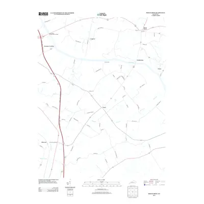
2013 Map of Beech Grove
USGS Topo · Published 2013About this map
Green River meanders across this landscape, defining the local geography and transport history at Wrightsburg and the river-access point of Roland Landing. The terrain is marked by a complex network of named waterways, including Pitman Cr, Deer Cr, and Sugar Camp Cr, which shaped the placement of rural settlements and family-named roads. The northern edge features the James Bethel Gresham Memorial Bridge, a significant river crossing. Small crossroads communities such as Beech Grove, Onton, and Congleton serve as focal points for a grid of country lanes like Sassafras Grove Rd and McGee Chapel Rd. This survey reflects a persistent rural character, where local identity is tied to family legacies and the traditional river-and-farm economy of the region.
Find a feature on this map
58 named features on this map. Tap any name to fly to it.
Don’t see what you’re looking for? This feature index may not catch every label — zoom into the map to look around manually.
Map Details
Editions of this 2013 Beech Grove Map
This is the sole edition of this map. No revisions or reprints were ever made.
Other maps of this area

1906 · Sebree
USGS Topo · 1:62,500

1907 · Earlington
USGS Topo · 1:48,000

1908 · Calhoun
USGS Topo · 1:62,500

1909 · Earlington
USGS Topo · 1:62,500

1909 · Madisonville
USGS Topo · 1:62,500

1949 · Sebree
USGS Topo · 1:24,000

1949 · Robards
USGS Topo · 1:24,000

1951 · Sebree
USGS Topo · 1:24,000

1951 · Robards
USGS Topo · 1:24,000

1952 · Sacramento
USGS Topo · 1:24,000