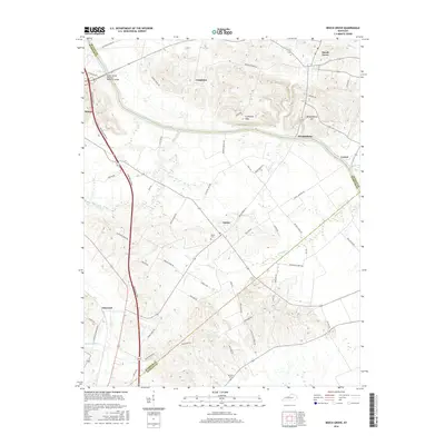
2016 Map of Beech Grove
USGS Topo · Published 2016About this map
The Green River meanders across this landscape, defining the northern border of McLean County where it meets Webster County. The terrain is characterized by prominent elevations such as Wrightsburg Hill and the Coltharpe Hills, which overlook the river valley. The James Bethel Gresham Memorial Bridge James Bethel Gresham Memorial Bridge provides a vital crossing point near Sebree, connecting the rural road networks.
Find a feature on this map
59 named features on this map. Tap any name to fly to it.
Don’t see what you’re looking for? This feature index may not catch every label — zoom into the map to look around manually.
Map Details
Editions of this 2016 Beech Grove Map
This is the sole edition of this map. No revisions or reprints were ever made.
Other maps of this area

1906 · Sebree
USGS Topo · 1:62,500

1907 · Earlington
USGS Topo · 1:48,000

1908 · Calhoun
USGS Topo · 1:62,500

1909 · Earlington
USGS Topo · 1:62,500

1909 · Madisonville
USGS Topo · 1:62,500

1949 · Sebree
USGS Topo · 1:24,000

1949 · Robards
USGS Topo · 1:24,000

1951 · Sebree
USGS Topo · 1:24,000

1951 · Robards
USGS Topo · 1:24,000

1952 · Sacramento
USGS Topo · 1:24,000