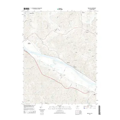
2014 Map of Beech Hill
USGS Topo · Published 2014About this map
The Kanawha River dictates the movement and settlement patterns across this Mason County landscape, with small communities like Ambrosia, Brighton, and Couch following its southeastern bank. The river valley is flanked by numerous named springs such as Harold Edwards Spring, John Oshel Spring, and McCulloch Spring, which historically supported the rural farmsteads found in the upland ridges. A significant portion of the southeastern quadrangle is occupied by the Cornstalk Reservation Area, a large wildlife management site that preserves the area's natural state between Beech Hill and the river.
Find a feature on this map
85 named features on this map. Tap any name to fly to it.
Don’t see what you’re looking for? This feature index may not catch every label — zoom into the map to look around manually.
Map Details
Editions of this 2014 Beech Hill Map
This is the sole edition of this map. No revisions or reprints were ever made.
Other maps of this area

1906 · Glenwood
USGS Topo · 1:62,500

1906 · Winfield
USGS Topo · 1:62,500

1908 · Glenwood
USGS Topo · 1:62,500

1908 · Winfield
USGS Topo · 1:62,500

1908 · Ravenswood
USGS Topo · 1:62,500

1908 · Point Pleasant
USGS Topo · 1:62,500

1926 · Ravenswood
USGS Topo · 1:62,500

1926 · Point Pleasant
USGS Topo · 1:62,500

1928 · Ravenswood
USGS Topo · 1:62,500

1929 · Point Pleasant
USGS Topo · 1:62,500