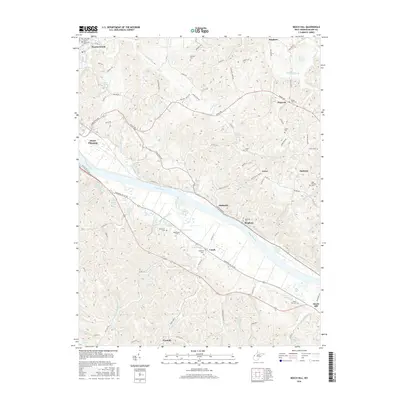
2016 Map of Beech Hill
USGS Topo · Published 2016About this map
The Kanawha River cuts a wide path through this portion of Mason County, shaping the settlement patterns of towns like Point Pleasant, Ambrosia, and Beech Hill. The river valley, flanked by Kanawha Valley Rd and Old US Hwy 35, serves as the primary corridor for movement, while the surrounding upland terrain is dissected by numerous smaller waterways. Tributaries such as Threemile Creek, Eightmile Cr, and Fivemile Cr drain the hills, creating the localized valleys where smaller communities like Flatrock and Greer are established.
Find a feature on this map
107 named features on this map. Tap any name to fly to it.
Don’t see what you’re looking for? This feature index may not catch every label — zoom into the map to look around manually.
Map Details
Editions of this 2016 Beech Hill Map
This is the sole edition of this map. No revisions or reprints were ever made.
Other maps of this area

1906 · Glenwood
USGS Topo · 1:62,500

1906 · Winfield
USGS Topo · 1:62,500

1908 · Glenwood
USGS Topo · 1:62,500

1908 · Winfield
USGS Topo · 1:62,500

1908 · Ravenswood
USGS Topo · 1:62,500

1908 · Point Pleasant
USGS Topo · 1:62,500

1926 · Ravenswood
USGS Topo · 1:62,500

1926 · Point Pleasant
USGS Topo · 1:62,500

1928 · Ravenswood
USGS Topo · 1:62,500

1929 · Point Pleasant
USGS Topo · 1:62,500