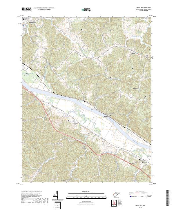
2023 Map of Beech Hill
USGS Topo · Published 2023About this map
The Kanawha River carves a deep valley through the heart of Mason County, shaping the settlement patterns of towns like Beech Hill and Ambrosia. This modern topographic survey highlights the concentration of rural communities and family landmarks along the river's path and its many tributaries, such as Threemile Creek and Little Fivemile Creek. The map is particularly valuable for genealogical research, documenting numerous hilltop cemeteries including Hoschar Cem, Lutton Cem, and the Brighton Methodist Episcopal Church Cem.
Find a feature on this map
110 named features on this map. Tap any name to fly to it.
Don’t see what you’re looking for? This feature index may not catch every label — zoom into the map to look around manually.
Map Details
Editions of this 2023 Beech Hill Map
This is the sole edition of this map. No revisions or reprints were ever made.
Other maps of this area

1906 · Glenwood
USGS Topo · 1:62,500

1906 · Winfield
USGS Topo · 1:62,500

1908 · Glenwood
USGS Topo · 1:62,500

1908 · Winfield
USGS Topo · 1:62,500

1908 · Ravenswood
USGS Topo · 1:62,500

1908 · Point Pleasant
USGS Topo · 1:62,500

1926 · Ravenswood
USGS Topo · 1:62,500

1926 · Point Pleasant
USGS Topo · 1:62,500

1928 · Ravenswood
USGS Topo · 1:62,500

1929 · Point Pleasant
USGS Topo · 1:62,500