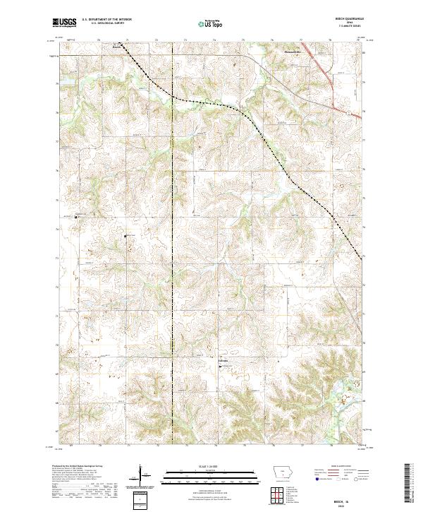
2022 Map of Beech
USGS Topo · Published 2022About this map
Beech and Pleasantville anchor the northern landscape of this rural region on the border of Marion and Warren counties. The terrain is deeply carved by a network of waterways, most notably White Breast Creek in the southeast and a series of smaller drainage systems including Coal Cr, Fly Cr, and Coon Cr. This intricate hydrography suggests a landscape defined by rolling creek valleys and upland ridges, largely shaped by the passage of water through the agricultural heartland.
Find a feature on this map
41 named features on this map. Tap any name to fly to it.
Don’t see what you’re looking for? This feature index may not catch every label — zoom into the map to look around manually.
Map Details
Editions of this 2022 Beech Map
This is the sole edition of this map. No revisions or reprints were ever made.
Other maps of this area

1909 · Knoxville
USGS Topo · 1:62,500

1910 · Milo
USGS Topo · 1:62,500

1912 · Knoxville
USGS Topo · 1:62,500

1918 · Chariton
USGS Topo · 1:62,500

1924 · Melcher
USGS Topo · 1:62,500

1954 · Des Moines
USGS Topo · 1:250,000

1956 · Des Moines
USGS Topo · 1:250,000

1957 · Des Moines
USGS Topo · 1:250,000

1965 · Pleasantville
USGS Topo · 1:24,000

1965 · Milo
USGS Topo · 1:24,000
Featured Places
- Pleasantville, IA
- Union Township, IA
- Belmont Township, IA
- Pleasant Grove Township, IA
- Franklin Township, IA