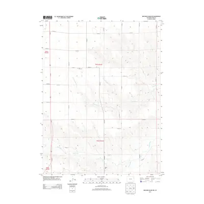
2013 Map of Beecher Island NW
USGS Topo · Published 2013About this map
Long Family Cem stands as a quiet marker of early homesteading in this corner of the High Plains, situated along CO Road 27. The landscape is defined by the complex drainage systems that feed the Arikaree River in the southeast, including the winding paths of Black Wolf Cr and the multiple branches of Dry Willow Cr. These seasonal watercourses carve intricate topographic patterns into the terrain, particularly around the prominent elevation of Squaw Hill.
Find a feature on this map
27 named features on this map. Tap any name to fly to it.
Don’t see what you’re looking for? This feature index may not catch every label — zoom into the map to look around manually.
Map Details
Editions of this 2013 Beecher Island NW Map
This is the sole edition of this map. No revisions or reprints were ever made.
Other maps of this area

1954 · Limon
USGS Topo · 1:250,000

1954 · Sterling
USGS Topo · 1:250,000

1957 · Limon
USGS Topo · 1:250,000

1958 · Limon
USGS Topo · 1:250,000

1958 · Sterling
USGS Topo · 1:250,000

1961 · Robb
USGS Topo · 1:24,000

1961 · Laird
USGS Topo · 1:24,000

1961 · Wray
USGS Topo · 1:24,000

1963 · Vernon
USGS Topo · 1:24,000

1963 · Beecher Island
USGS Topo · 1:24,000