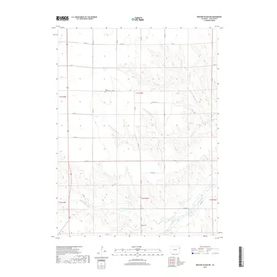
2019 Map of Beecher Island NW
USGS Topo · Published 2019About this map
Long Family Cem sits at the heart of this high plains landscape, representing the deep-rooted agricultural heritage of eastern Colorado. The terrain is defined by the gradual descent of the Arikaree River valley in the southeast corner, where intermittent drainage systems like Black Wolf Cr and Dry Willow Cr have carved intricate patterns into the tableland. Rising above the local topography, Squaw Hill provides a distinct landmark in a region characterized by its expansive horizons and a systematic grid of county roads. The network of routes, including Co RD 29 and Co RD 22, facilitates movement across the township lines of T1S and T2S, connecting isolated homesteads and ranching operations to the broader Yuma County geography. This survey documents the persistent rural character of the area, where the lifeblood of the land remains tied to the seasonal flows of the N Fork Dry Willow Cr and its tributaries.
Find a feature on this map
22 named features on this map. Tap any name to fly to it.
Don’t see what you’re looking for? This feature index may not catch every label — zoom into the map to look around manually.
Map Details
Editions of this 2019 Beecher Island NW Map
This is the sole edition of this map. No revisions or reprints were ever made.
Other maps of this area

1954 · Limon
USGS Topo · 1:250,000

1954 · Sterling
USGS Topo · 1:250,000

1957 · Limon
USGS Topo · 1:250,000

1958 · Limon
USGS Topo · 1:250,000

1958 · Sterling
USGS Topo · 1:250,000

1961 · Robb
USGS Topo · 1:24,000

1961 · Laird
USGS Topo · 1:24,000

1961 · Wray
USGS Topo · 1:24,000

1963 · Vernon
USGS Topo · 1:24,000

1963 · Beecher Island
USGS Topo · 1:24,000