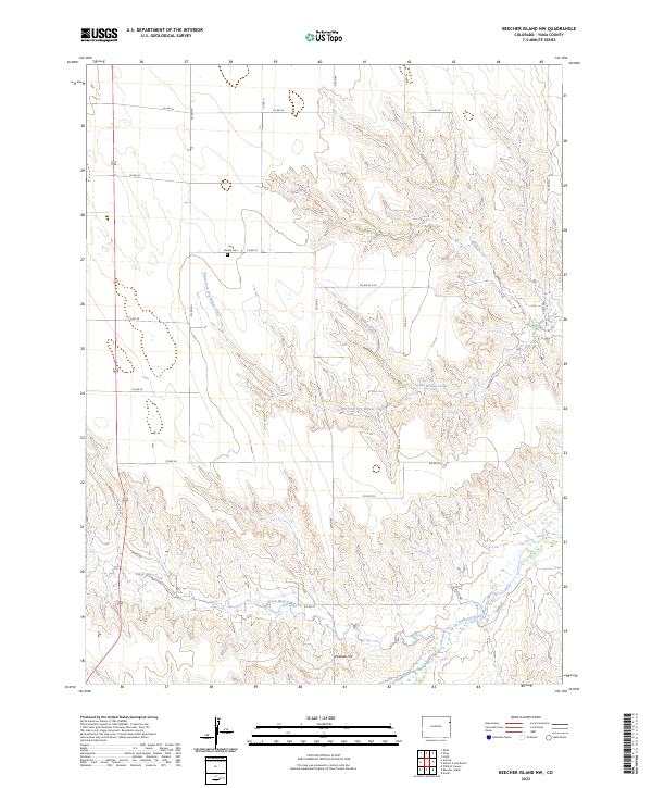
2023 Map of Beecher Island NW
USGS Topo · Published 2023About this map
Long Family Cem provides a specific point of genealogical interest in this rural Yuma County landscape, situated on a high point between the drainages of the Arikaree River and Dry Willow Creek. The terrain is defined by a dense network of intermittent watercourses, including the North Fork Dry Willow Creek and South Fork Dry Willow Creek, which converge as they carve through the High Plains. To the south, the Black Wolf Creek flows past the base of Pawnee Hill, a prominent elevation that overlooks the river valley. The map reveals a strictly organized grid of county roads, such as Co RD 22 and Co RD 29, reflecting the methodical survey and agricultural division of this part of eastern Colorado into distinct sections and townships.
Find a feature on this map
22 named features on this map. Tap any name to fly to it.
Don’t see what you’re looking for? This feature index may not catch every label — zoom into the map to look around manually.
Map Details
Editions of this 2023 Beecher Island NW Map
This is the sole edition of this map. No revisions or reprints were ever made.
Other maps of this area

1954 · Limon
USGS Topo · 1:250,000

1954 · Sterling
USGS Topo · 1:250,000

1957 · Limon
USGS Topo · 1:250,000

1958 · Limon
USGS Topo · 1:250,000

1958 · Sterling
USGS Topo · 1:250,000

1961 · Robb
USGS Topo · 1:24,000

1961 · Laird
USGS Topo · 1:24,000

1961 · Wray
USGS Topo · 1:24,000

1963 · Vernon
USGS Topo · 1:24,000

1963 · Beecher Island
USGS Topo · 1:24,000