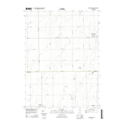
2015 Map of Beecher West
USGS Topo · Published 2015About this map
The borderlands of Will County and Kankakee County are defined by a regular grid of section roads and low-lying drainage features. Beecher sits at the northeastern corner of this study, where a dense network of local streets like Gould St and Dunbar St indicates the town's expansion. Further south, the rural character of the landscape is punctuated by historical landmarks such as Saint Paul Lutheran Cem and Heusing Cem, which serve as vital points for genealogical research. The land is drained by a complex system of sloughs and creeks, including Exline Slough and Black Walnut Cr, which weave through the agricultural tracts. Small communities like Sollitt and Whitaker appear as quiet clusters along the transport corridors, while the Von Alvens Airview Airport and the Prairie Farm site reflect the intersection of local aviation and traditional agriculture in this part of Illinois.
Find a feature on this map
50 named features on this map. Tap any name to fly to it.
Don’t see what you’re looking for? This feature index may not catch every label — zoom into the map to look around manually.
Map Details
Editions of this 2015 Beecher West Map
This is the sole edition of this map. No revisions or reprints were ever made.
Other maps of this area

1922 · Momence
USGS Topo · 1:62,500

1922 · Kankakee
USGS Topo · 1:62,500

1924 · Momence
USGS Topo · 1:62,500

1924 · Kankakee
USGS Topo · 1:62,500

1929 · Dyer
USGS Topo · 1:24,000

1930 · Dyer
USGS Topo · 1:24,000

1930 · Frankfort
USGS Topo · 1:24,000

1930 · Steger
USGS Topo · 1:24,000

1949 · Peotone
USGS Topo · 1:62,500

1949 · Crete
USGS Topo · 1:62,500