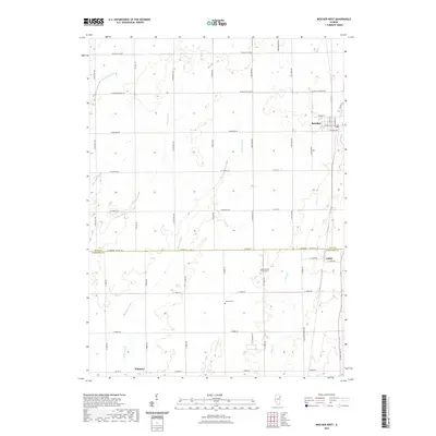
2021 Map of Beecher West
USGS Topo · Published 2021About this map
Beecher sits at the edge of this prairie landscape, where the flat agricultural terrain is defined by a complex network of seasonal waterways and drainage. The map illustrates a transitional zone across the boundary of Will and Kankakee Counties, showing the small settlements of Sollitt and Whitaker. This 2021 update preserves the locations of vital community landmarks such as Zion Lutheran Church Cem and Heusing Cem, which provide essential grounding for local genealogy. The hydrology of the region is notably intricate, featuring Extine Slough, Marshall Slough, and numerous creeks including Black Walnut Cr and Trim Cr. These features reflect the natural drainage patterns of the Illinois till plain, where the land has been meticulously sectioned by a grid of roads like S Crawford Ave and S Kedzie Ave.
Find a feature on this map
53 named features on this map. Tap any name to fly to it.
Don’t see what you’re looking for? This feature index may not catch every label — zoom into the map to look around manually.
Map Details
Editions of this 2021 Beecher West Map
This is the sole edition of this map. No revisions or reprints were ever made.
Other maps of this area

1922 · Momence
USGS Topo · 1:62,500

1922 · Kankakee
USGS Topo · 1:62,500

1924 · Momence
USGS Topo · 1:62,500

1924 · Kankakee
USGS Topo · 1:62,500

1929 · Dyer
USGS Topo · 1:24,000

1930 · Dyer
USGS Topo · 1:24,000

1930 · Frankfort
USGS Topo · 1:24,000

1930 · Steger
USGS Topo · 1:24,000

1949 · Peotone
USGS Topo · 1:62,500

1949 · Crete
USGS Topo · 1:62,500