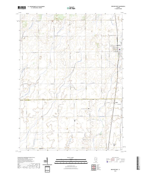
2024 Map of Beecher West
USGS Topo · Published 2024About this map
Beecher and Grant Park anchor the eastern edge of this agricultural landscape, where the flat prairie of the Illinois-Indiana borderlands is defined by a complex network of drainage and creek systems. The boundary between Will Co and Kankakee Co bisects the map, marking a transition between the northern township around Sollitt and the southern reaches near Whitaker. Local history is preserved at the Zion Lutheran Church Cem and Heusing Cem, which sit amidst a grid of section-line roads like S Kedzie Ave and W North Peotone Rd.
Find a feature on this map
55 named features on this map. Tap any name to fly to it.
Don’t see what you’re looking for? This feature index may not catch every label — zoom into the map to look around manually.
Map Details
Editions of this 2024 Beecher West Map
This is the sole edition of this map. No revisions or reprints were ever made.
Other maps of this area

1922 · Momence
USGS Topo · 1:62,500

1922 · Kankakee
USGS Topo · 1:62,500

1924 · Momence
USGS Topo · 1:62,500

1924 · Kankakee
USGS Topo · 1:62,500

1929 · Dyer
USGS Topo · 1:24,000

1930 · Dyer
USGS Topo · 1:24,000

1930 · Frankfort
USGS Topo · 1:24,000

1930 · Steger
USGS Topo · 1:24,000

1949 · Peotone
USGS Topo · 1:62,500

1949 · Crete
USGS Topo · 1:62,500