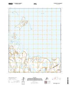
2017 Map of Beechey Point A-1 NE
USGS Topo · Published 2017About this map
Tigvariak Island sits prominently within the shallow waters of Stefansson Sound, a stark landscape of the Arctic coast where land and water blur through extensive wetlands and barrier formations. This 2017 survey by the U.S. Geological Survey documents a remote stretch of the North Slope, revealing a complex hydrological network dominated by the Shaviovik River as it empties into the Beaufort Sea. The inclusion of Badami Airport in the southeastern corner highlights the sparse but critical transportation infrastructure required for industrial and research activities in this environment. Defined by the transition between Mikkelsen Bay and the open sea, the area features low-lying landmarks such as Lion Point and Reliance Point, which serve as essential navigational markers along a coastline shaped by shifting ice and seasonal melt.
Find a feature on this map
12 named features on this map. Tap any name to fly to it.
Don’t see what you’re looking for? This feature index may not catch every label — zoom into the map to look around manually.
Map Details
Editions of this 2017 Beechey Point A-1 NE Map
This is the sole edition of this map. No revisions or reprints were ever made.
Other maps of this area

1951 · Beechey Point
USGS Topo · 1:250,000

1955 · Flaxman Island
USGS Topo · 1:250,000

1955 · Beechey Point
USGS Topo · 1:250,000

1955 · Beechey Point B-1
USGS Topo · 1:63,360

1955 · Flaxman Island A-5
USGS Topo · 1:63,360

1955 · Beechey Point A-1
USGS Topo · 1:63,360
1955 · Flaxman Island B-5
USGS Topo · 1:63,360

1960 · Beechey Point
USGS Topo · 1:250,000
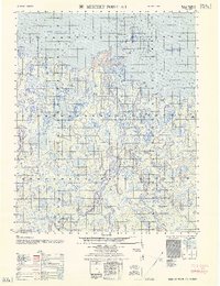
1962 · Beechey Point A-1
USGS Topo · 1:50,000
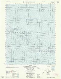
1962 · Beechey Point B-1
USGS Topo · 1:50,000