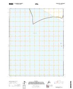
2017 Map of Beechey Point B-1 SE
USGS Topo · Published 2017About this map
Beaufort Sea waters dominate this coastal Arctic landscape, where the shifting interface of ice and ocean meets the northernmost reaches of the Alaskan mainland. The map depicts a sparse and specialized environment characterized by the Newport Entrance, a passage leading toward the protective fringe of the Stockton Islands. Among these landforms is Pole Island, a small but distinct feature at the edge of the continental shelf. The land-based portion of the quadrangle is strictly defined by the Alaska North Slope boundary, marking the vast administrative and geological extent of the region. This 2017 survey illustrates the essential maritime and topographic markers used for navigation and territory management in a region where few permanent settlements exist, but where the coastlines and barrier islands remain critical for environmental monitoring and resource logistics.
Find a feature on this map
11 named features on this map. Tap any name to fly to it.
Don’t see what you’re looking for? This feature index may not catch every label — zoom into the map to look around manually.
Map Details
Editions of this 2017 Beechey Point B-1 SE Map
This is the sole edition of this map. No revisions or reprints were ever made.
Other maps of this area

1951 · Beechey Point
USGS Topo · 1:250,000

1955 · Flaxman Island
USGS Topo · 1:250,000

1955 · Beechey Point
USGS Topo · 1:250,000

1955 · Beechey Point B-1
USGS Topo · 1:63,360

1955 · Flaxman Island A-5
USGS Topo · 1:63,360

1955 · Beechey Point A-1
USGS Topo · 1:63,360
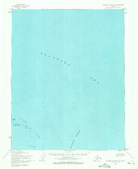
1955 · Flaxman Island B-5
USGS Topo · 1:63,360

1960 · Beechey Point
USGS Topo · 1:250,000
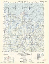
1962 · Beechey Point A-1
USGS Topo · 1:50,000
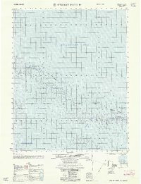
1962 · Beechey Point B-1
USGS Topo · 1:50,000