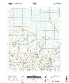
2017 Map of Beechey Point B-2 SW
USGS Topo · Published 2017About this map
The Sagavanirktok River dominates this coastal landscape as it fans out into a wide, braided delta before reaching the Beaufort Sea. This 2017 survey captures a remote stretch of the North Slope where the freshwater of the Arctic plains meets the saltwater of the northern coast. The map illustrates a complex network of wetlands and shifting channels typical of the river's lower reaches, creating a dynamic environment of gravel bars and seasonal waterways.
Find a feature on this map
12 named features on this map. Tap any name to fly to it.
Don’t see what you’re looking for? This feature index may not catch every label — zoom into the map to look around manually.
Map Details
Editions of this 2017 Beechey Point B-2 SW Map
This is the sole edition of this map. No revisions or reprints were ever made.
Other maps of this area

1951 · Beechey Point
USGS Topo · 1:250,000

1955 · Beechey Point
USGS Topo · 1:250,000

1955 · Beechey Point B-2
USGS Topo · 1:63,360

1955 · Beechey Point A-2
USGS Topo · 1:63,360

1955 · Beechey Point A-3
USGS Topo · 1:63,360

1955 · Beechey Point B-3
USGS Topo · 1:63,360

1960 · Beechey Point
USGS Topo · 1:250,000

1962 · Beechey Point B-2
USGS Topo · 1:50,000
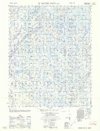
1962 · Beechey Point A-2
USGS Topo · 1:50,000

1964 · Beechey Point
USGS Topo · 1:250,000