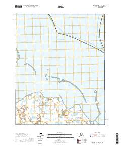
2017 Map of Beechey Point B-3 NW
USGS Topo · Published 2017About this map
Beaufort Sea waters dominate this coastal Arctic landscape, where the shifting shoreline of the North Slope Borough meets the ice-prone margins of the far north. The map documents a critical coastal interface defined by prominent landmarks like Point Storkersen and Point McIntyre, which jut into the frigid waters of Stefansson Sound. The presence of Prudhoe Bay at the southeastern edge of the sheet indicates proximity to the region's significant industrial and geographic focal points.
Find a feature on this map
15 named features on this map. Tap any name to fly to it.
Don’t see what you’re looking for? This feature index may not catch every label — zoom into the map to look around manually.
Map Details
Editions of this 2017 Beechey Point B-3 NW Map
This is the sole edition of this map. No revisions or reprints were ever made.
Other maps of this area

1951 · Beechey Point
USGS Topo · 1:250,000

1955 · Beechey Point
USGS Topo · 1:250,000
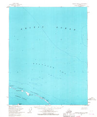
1955 · Beechey Point C-4
USGS Topo · 1:63,360

1955 · Beechey Point B-4
USGS Topo · 1:63,360

1955 · Beechey Point B-3
USGS Topo · 1:63,360

1960 · Beechey Point
USGS Topo · 1:250,000

1962 · Beechey Point B-4
USGS Topo · 1:50,000
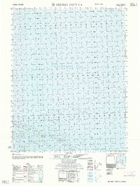
1962 · Beechey Point C-4
USGS Topo · 1:50,000

1964 · Beechey Point
USGS Topo · 1:250,000
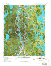
1970 · Beechey Point B-4 SE
USGS Topo · 1:24,000