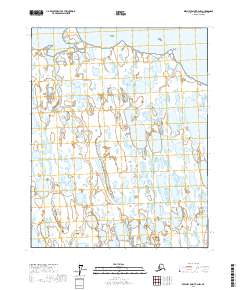
2017 Map of Beechey Point B-4 NW
USGS Topo · Published 2017About this map
Simpson Lagoon dominates the northern edge of this coastal landscape on the North Slope, where the land meets the Beaufort Sea. The terrain is characterized by a dense network of thaw lakes and wetlands, typical of the Arctic coastal plain's permafrost-influenced hydrology. Landmarks such as Beechey Point and the slightly elevated Beechey Mound provide some of the only distinct geographic relief in an otherwise low-lying expanse defined by the t13n r11e and t13n r12e township boundaries. The map illustrates a remote environment where the interface between marine and terrestrial ecosystems is constantly shaped by seasonal cycles.
Find a feature on this map
7 named features on this map. Tap any name to fly to it.
Don’t see what you’re looking for? This feature index may not catch every label — zoom into the map to look around manually.
Map Details
Editions of this 2017 Beechey Point B-4 NW Map
This is the sole edition of this map. No revisions or reprints were ever made.
Other maps of this area

1951 · Beechey Point
USGS Topo · 1:250,000

1955 · Beechey Point
USGS Topo · 1:250,000
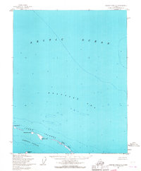
1955 · Beechey Point C-4
USGS Topo · 1:63,360

1955 · Beechey Point B-4
USGS Topo · 1:63,360
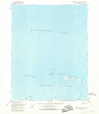
1955 · Beechey Point C-5
USGS Topo · 1:63,360

1955 · Beechey Point B-5
USGS Topo · 1:63,360

1960 · Beechey Point
USGS Topo · 1:250,000

1962 · Beechey Point B-4
USGS Topo · 1:50,000
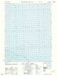
1962 · Beechey Point C-4
USGS Topo · 1:50,000

1964 · Beechey Point
USGS Topo · 1:250,000