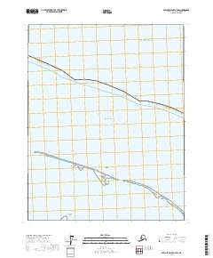
2017 Map of Beechey Point C-4 SW
USGS Topo · Published 2017About this map
Simpson Lagoon separates the mainland of the North Slope Borough from a delicate chain of barrier islands along the edge of the Beaufort Sea. This 2017 survey documents the low-lying coastal geography of the far north, where the Arctic Ocean meets a series of landforms named for regional figures and local history. The map traces the specific contours of the Jones Islands, including Bertoncini Island, Bodfish Island, and Cottle Island. On the southern shore of the lagoon, Kavearak Point marks a distinct protrusion into the water, illustrating the interaction between the maritime environment and the tundra. This document serves as a high-resolution record of the coastal transition zone in one of the most northern reaches of the United States.
Find a feature on this map
14 named features on this map. Tap any name to fly to it.
Don’t see what you’re looking for? This feature index may not catch every label — zoom into the map to look around manually.
Map Details
Editions of this 2017 Beechey Point C-4 SW Map
This is the sole edition of this map. No revisions or reprints were ever made.
Other maps of this area

1951 · Beechey Point
USGS Topo · 1:250,000

1955 · Beechey Point
USGS Topo · 1:250,000
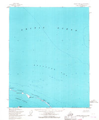
1955 · Beechey Point C-4
USGS Topo · 1:63,360

1955 · Beechey Point B-4
USGS Topo · 1:63,360
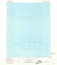
1955 · Beechey Point C-5
USGS Topo · 1:63,360

1955 · Beechey Point B-5
USGS Topo · 1:63,360

1960 · Beechey Point
USGS Topo · 1:250,000

1962 · Beechey Point B-4
USGS Topo · 1:50,000
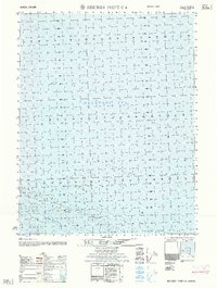
1962 · Beechey Point C-4
USGS Topo · 1:50,000

1964 · Beechey Point
USGS Topo · 1:250,000