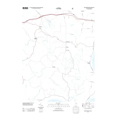
2013 Map of Beechwood
USGS Topo · Published 2013About this map
The Little Blue River winds through this rural Crawford County landscape, creating a complex drainage network that includes the Turkey Fork and Stinking Fork. This area of southern Indiana is defined by small, dispersed settlements like Beechwood, Sulphur, and Deuchars, connected by a web of county roads such as Co RD-58 and S Beechwood Rd. The topography is marked by significant elevation changes, particularly as the terrain descends toward the southern boundary at the Ohio River.
Find a feature on this map
42 named features on this map. Tap any name to fly to it.
Don’t see what you’re looking for? This feature index may not catch every label — zoom into the map to look around manually.
Map Details
Editions of this 2013 Beechwood Map
This is the sole edition of this map. No revisions or reprints were ever made.
Other maps of this area

1946 · Leavenworth
USGS Topo · 1:24,000

1947 · Leavenworth
USGS Topo · 1:24,000

1948 · Milltown
USGS Topo · 1:24,000

1950 · Beechwood
USGS Topo · 1:24,000

1950 · English
USGS Topo · 1:24,000
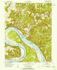
1950 · Leavenworth
USGS Topo · 1:24,000
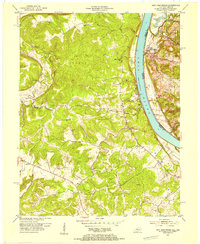
1950 · New Amsterdam
USGS Topo · 1:24,000

1950 · Alton
USGS Topo · 1:62,500

1950 · Alton
USGS Topo · 1:24,000

1951 · Alton
USGS Topo · 1:24,000