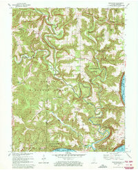
1970 Map of Beechwood
USGS Topo · Published 1972About this map
The Little Blue River carves a winding path through this corner of Southern Indiana, defining a landscape dominated by the Hoosier National Forest and Harrison-Crawford State Forest. The map captures the area during a period of infrastructure planning, clearly marking a Proposed Location for a major roadway cutting across the northern reaches near Sulphur. While the forests cover much of the terrain, small rural settlements like Beechwood, Jericho, and Fredonia provide focal points for local history. Genealogists will find a wealth of family-named landmarks and resting places, including the Wiseman Cem, Birds Cem, and Sheckell Cem. The southern edge of the sheet follows the great bend of the Ohio River, where navigation markers like Mile 675 note the vital water highway connecting Indiana and Kentucky.
Find a feature on this map
40 named features on this map. Tap any name to fly to it.
Don’t see what you’re looking for? This feature index may not catch every label — zoom into the map to look around manually.
Map Details
Editions of this 1970 Beechwood Map
2 editions found
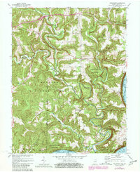
Other maps of this area

1946 · Leavenworth
USGS Topo · 1:24,000

1947 · Leavenworth
USGS Topo · 1:24,000

1948 · Milltown
USGS Topo · 1:24,000

1950 · Beechwood
USGS Topo · 1:24,000

1950 · English
USGS Topo · 1:24,000
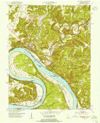
1950 · Leavenworth
USGS Topo · 1:24,000
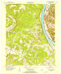
1950 · New Amsterdam
USGS Topo · 1:24,000

1950 · Alton
USGS Topo · 1:62,500

1950 · Alton
USGS Topo · 1:24,000

1951 · Alton
USGS Topo · 1:24,000