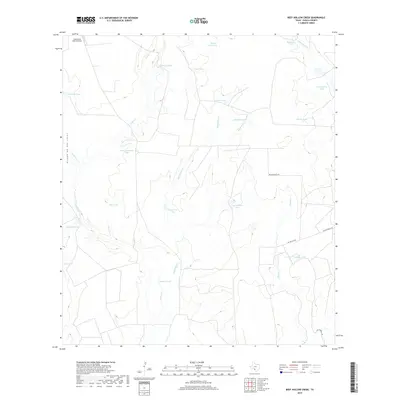
2019 Map of Beef Hollow Creek
USGS Topo · Published 2019About this map
Water management dominates this arid stretch of Zavala County, where a complex system of cattle tanks and small lakes punctuates the brush country. Named features like High Lonesome Tank, Youngblood Tank, and McNalley Tank reveal the necessity of engineered water sources for ranching operations in this South Texas landscape. Large surface water features including Chaparrosa Lake and Rutledge Lake sit alongside the drainage of Beef Hollow Cr and Turkey Cr, showing how the local topography has been adapted for agricultural use.
Find a feature on this map
28 named features on this map. Tap any name to fly to it.
Don’t see what you’re looking for? This feature index may not catch every label — zoom into the map to look around manually.
Map Details
Editions of this 2019 Beef Hollow Creek Map
This is the sole edition of this map. No revisions or reprints were ever made.
Other maps of this area

1939 · Carrizo Springs
USGS Topo · 1:62,500

1939 · La Pryor
USGS Topo · 1:62,500

1940 · Cometa
USGS Topo · 1:62,500

1940 · Chacon Creek
USGS Topo · 1:62,500

1953 · Crystal City
USGS Topo · 1:250,000

1955 · Crystal City
USGS Topo · 1:250,000

1958 · Eagle Pass
USGS Topo · 1:250,000

1961 · Crystal City
USGS Topo · 1:250,000

1965 · Eagle Pass
USGS Topo · 1:250,000

1968 · Crystal City
USGS Topo · 1:250,000