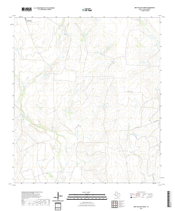
2022 Map of Beef Hollow Creek
USGS Topo · Published 2022About this map
Beef Hollow Cr and Turkey Cr define the hydrological character of this South Texas landscape, where water management is central to the land's utility. The map reveals a network of man-made reservoirs and tanks, such as Hamilton Tank, Youngblood Tank, and McNalley Tank, which are vital for ranching operations in this semi-arid region. These features, often named after local families or geographical landmarks like High Lonesome Tank, illustrate the historical development of large-scale ranching infrastructure.
Find a feature on this map
27 named features on this map. Tap any name to fly to it.
Don’t see what you’re looking for? This feature index may not catch every label — zoom into the map to look around manually.
Map Details
Editions of this 2022 Beef Hollow Creek Map
This is the sole edition of this map. No revisions or reprints were ever made.
Other maps of this area

1939 · Carrizo Springs
USGS Topo · 1:62,500

1939 · La Pryor
USGS Topo · 1:62,500

1940 · Cometa
USGS Topo · 1:62,500

1940 · Chacon Creek
USGS Topo · 1:62,500

1953 · Crystal City
USGS Topo · 1:250,000

1955 · Crystal City
USGS Topo · 1:250,000

1958 · Eagle Pass
USGS Topo · 1:250,000

1961 · Crystal City
USGS Topo · 1:250,000

1965 · Eagle Pass
USGS Topo · 1:250,000

1968 · Crystal City
USGS Topo · 1:250,000