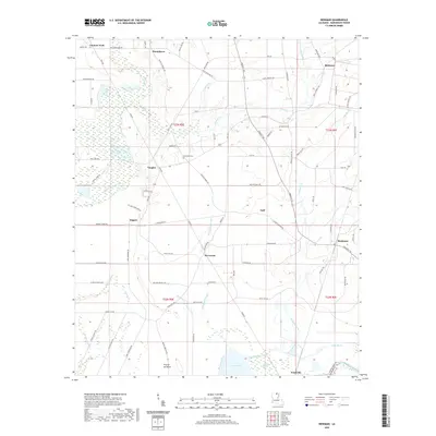
2020 Map of Beekman
USGS Topo · Published 2020About this map
Bayou Bartholomew winds through the southeastern corner of this Morehouse Parish landscape, anchoring a region defined by complex wetlands and timbered lowlands. The terrain is marked by numerous brakes and sloughs, including Bussy Brake, Squeeler Brake, and the extensive White Oak Slough. These hydrologic features illustrate the natural drainage patterns of the Louisiana delta country, where seasonal water movement shaped early settlement. Small communities and family-named locales such as Beekman, Wardville, and Stevenson are connected by a network of rural roads like Sulphur Springs Rd and Crossett Rd. For genealogists, the Stevenson Cem and scattered habitations near Couters Neck and Humphreys provide essential geographic context for families tied to this corner of the state near the Arkansas border.
Find a feature on this map
91 named features on this map. Tap any name to fly to it.
Don’t see what you’re looking for? This feature index may not catch every label — zoom into the map to look around manually.
Map Details
Editions of this 2020 Beekman Map
This is the sole edition of this map. No revisions or reprints were ever made.
Other maps of this area

1934 · Felsenthal
USGS Topo · 1:62,500

1935 · Naff
USGS Topo · 1:62,500

1935 · Haile
USGS Topo · 1:62,500

1937 · Felsenthal
USGS Topo · 1:62,500

1938 · Felsenthal
USGS Topo · 1:62,500

1939 · Felsenthal
USGS Topo · 1:62,500

1953 · Greenwood
USGS Topo · 1:250,000

1953 · El Dorado
USGS Topo · 1:250,000

1955 · Jackson
USGS Topo · 1:250,000

1955 · Shreveport
USGS Topo · 1:250,000