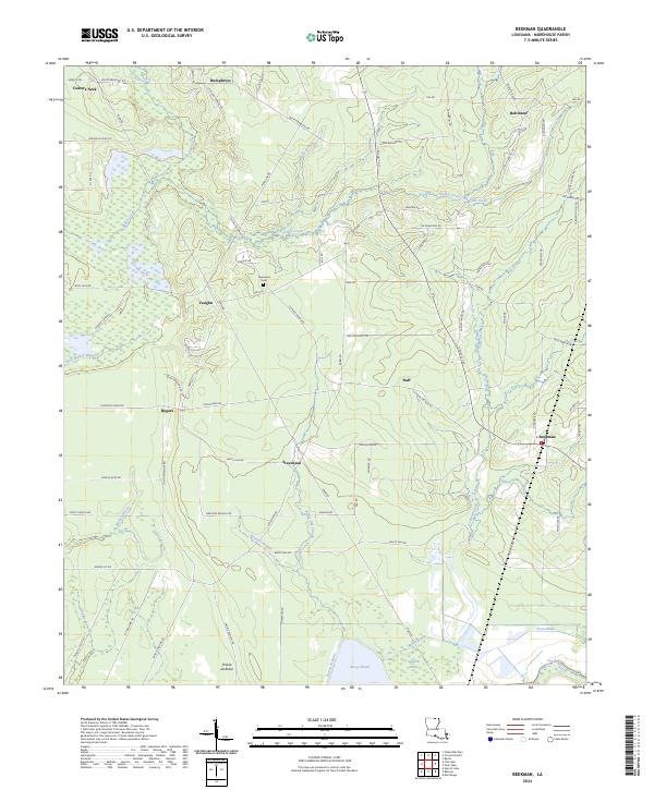
2024 Map of Beekman
USGS Topo · Published 2024About this map
Bayou Bartholomew snakes through the northeast corner of this Morehouse Parish landscape, defining a terrain shaped by winding waterways and agricultural tracts. Small communities and historical clusters like Beekman, Stevenson, and Vaughn are connected by a network of rural routes such as Sulphur Springs Rd and Tram Rd. The central southern portion is dominated by the sprawling waters of Bussy Brake, while Squealer Brake and Ward Brake highlight the low-lying, hydrologically complex nature of the region.
Find a feature on this map
88 named features on this map. Tap any name to fly to it.
Don’t see what you’re looking for? This feature index may not catch every label — zoom into the map to look around manually.
Map Details
Editions of this 2024 Beekman Map
This is the sole edition of this map. No revisions or reprints were ever made.
Other maps of this area

1934 · Felsenthal
USGS Topo · 1:62,500

1935 · Naff
USGS Topo · 1:62,500

1935 · Haile
USGS Topo · 1:62,500

1937 · Felsenthal
USGS Topo · 1:62,500

1938 · Felsenthal
USGS Topo · 1:62,500

1939 · Felsenthal
USGS Topo · 1:62,500

1953 · Greenwood
USGS Topo · 1:250,000

1953 · El Dorado
USGS Topo · 1:250,000

1955 · Jackson
USGS Topo · 1:250,000

1955 · Shreveport
USGS Topo · 1:250,000