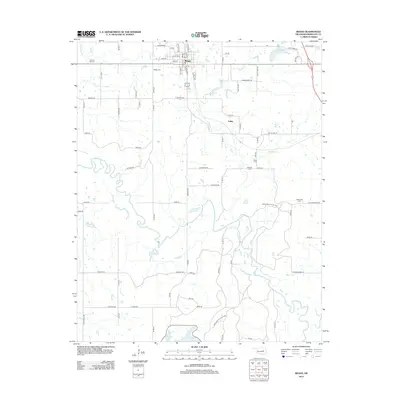
2012 Map of Beggs
USGS Topo · Published 2012About this map
Beggs serves as the primary hub of this Okmulgee County landscape, situated where the grid of rural roads meets the winding course of the Deep Fork. The terrain is defined by its water and conservation areas, including the southern reaches of the Okmulgee Wildlife Area and the waters of Okmulgee Lake. Genealogists will find a wealth of specific data here, as several rural burial grounds are documented, from Beggs Cem and Old Post Oak Cem in the north to Huckaby Cem and Stake Cem further south. The settlement of Laden appears near the center of the sheet, while the map also tracks the development of local reservoirs like Beggs Lake and New Beggs Lake. This 2012 survey illustrates the transition from organized town streets to the irregular drainage patterns of Salt Cr and Negro Cr.
Find a feature on this map
73 named features on this map. Tap any name to fly to it.
Don’t see what you’re looking for? This feature index may not catch every label — zoom into the map to look around manually.
Map Details
Editions of this 2012 Beggs Map
This is the sole edition of this map. No revisions or reprints were ever made.
Other maps of this area

1896 · Okmulgee
USGS Topo · 1:125,000

1900 · Okmulgee
USGS Topo · 1:125,000

1901 · Nuyaka
USGS Topo · 1:125,000

1914 · Kiefer
USGS Topo · 1:62,500

1916 · Kiefer
USGS Topo · 1:62,500

1946 · Fort Smith
USGS Topo · 1:250,000

1954 · Oklahoma City
USGS Topo · 1:250,000

1957 · Oklahoma City
USGS Topo · 1:250,000

1963 · Oklahoma City
USGS Topo · 1:250,000

1965 · Fort Smith
USGS Topo · 1:250,000