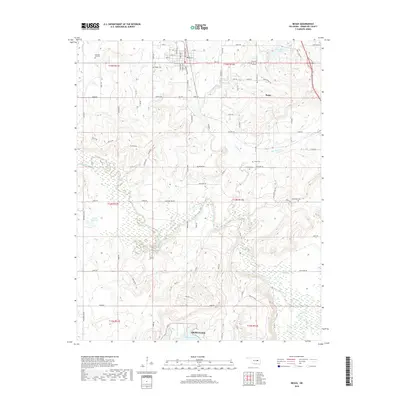
2018 Map of Beggs
USGS Topo · Published 2018About this map
Beggs serves as the central hub of this 2018 survey, positioned at the intersection of local routes like Broadway Ave and Main St. The town is surrounded by a network of rural cemeteries that offer significant value for genealogical research, including the Beggs Cem, Old Post Oak Cem, and Stake Cem. The landscape is defined by the winding course of the Deep Fork and its tributaries, such as Flat Rock Cr and Adams Cr, which drain into several localized impoundments.
Find a feature on this map
84 named features on this map. Tap any name to fly to it.
Don’t see what you’re looking for? This feature index may not catch every label — zoom into the map to look around manually.
Map Details
Editions of this 2018 Beggs Map
This is the sole edition of this map. No revisions or reprints were ever made.
Other maps of this area

1896 · Okmulgee
USGS Topo · 1:125,000

1900 · Okmulgee
USGS Topo · 1:125,000

1901 · Nuyaka
USGS Topo · 1:125,000

1914 · Kiefer
USGS Topo · 1:62,500

1916 · Kiefer
USGS Topo · 1:62,500

1946 · Fort Smith
USGS Topo · 1:250,000

1954 · Oklahoma City
USGS Topo · 1:250,000

1957 · Oklahoma City
USGS Topo · 1:250,000

1963 · Oklahoma City
USGS Topo · 1:250,000

1965 · Fort Smith
USGS Topo · 1:250,000