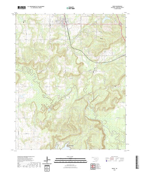
2022 Map of Beggs
USGS Topo · Published 2022About this map
Beggs serves as the primary hub of activity in this Okmulgee County landscape, where the grid of city streets like Main St and E 7th gives way to a sprawling network of section-line roads and creek drainages. The Deep Fork river meanders across the southern portion of the sheet, surrounded by low-lying wetlands and protected areas like the Crane Reserve. This area preserves several smaller burial grounds that are vital for local genealogical research, including the Old Post Oak Cem, Stake Cem, and the uniquely named Huckaby - Pennyman Cem.
Find a feature on this map
53 named features on this map. Tap any name to fly to it.
Don’t see what you’re looking for? This feature index may not catch every label — zoom into the map to look around manually.
Map Details
Editions of this 2022 Beggs Map
This is the sole edition of this map. No revisions or reprints were ever made.
Other maps of this area

1896 · Okmulgee
USGS Topo · 1:125,000

1900 · Okmulgee
USGS Topo · 1:125,000

1901 · Nuyaka
USGS Topo · 1:125,000

1914 · Kiefer
USGS Topo · 1:62,500

1916 · Kiefer
USGS Topo · 1:62,500

1946 · Fort Smith
USGS Topo · 1:250,000

1954 · Oklahoma City
USGS Topo · 1:250,000

1957 · Oklahoma City
USGS Topo · 1:250,000

1963 · Oklahoma City
USGS Topo · 1:250,000

1965 · Fort Smith
USGS Topo · 1:250,000