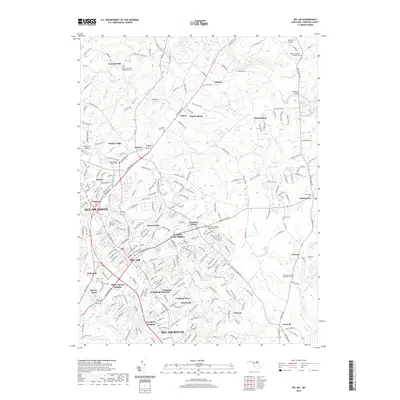
2019 Map of Bel Air
USGS Topo · Published 2019About this map
Bel Air serves as the central hub of this Harford County landscape, surrounded by an expanding network of suburban developments like Fountain Green Heights, Silver Spring Heights, and Colonial Acres. The map reveals a transition from the denser street grids of the town center, characterized by S Main St and E Pennsylvania Ave, toward the more rural northern reaches of Chestnut Hill and Kalmia.
Find a feature on this map
101 named features on this map. Tap any name to fly to it.
Don’t see what you’re looking for? This feature index may not catch every label — zoom into the map to look around manually.
Map Details
Editions of this 2019 Bel Air Map
This is the sole edition of this map. No revisions or reprints were ever made.
Other maps of this area

1893 · Gunpowder
USGS Topo · 1:62,500

1898 · Tolchester
USGS Topo · 1:125,000

1900 · Havre De Grace
USGS Topo · 1:62,500

1900 · Betterton
USGS Topo · 1:62,500

1901 · Belair
USGS Topo · 1:62,500

1901 · Gunpowder
USGS Topo · 1:62,500

1903 · Tolchester
USGS Topo · 1:125,000

1908 · Tolchester
USGS Topo · 1:125,000

1941 · Gunpowder
USGS Topo · 1:62,500

1942 · Havre De Grace
USGS Topo · 1:62,500