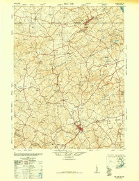
1948 Map of Belair
USGS Topo · Published 1948About this map
Bel Air serves as a primary hub in this late-1940s survey of the borderlands between Maryland and Pennsylvania. The Maryland and Pennsylvania railroad carves a winding path through the northern landscape, connecting the twin settlements of Delta and Cardiff. This region, documented just after the war, reflects a transition from traditional agriculture to a more complex rural economy. Evidence of past industry is found near Dublin, where the map identifies a Talc (Abandoned) mine and a Flint (Abandoned) site, signaling the decline of local mineral extraction.
Find a feature on this map
143 named features on this map. Tap any name to fly to it.
Don’t see what you’re looking for? This feature index may not catch every label — zoom into the map to look around manually.
Map Details
Editions of this 1948 Belair Map
2 editions found
Historical Maps of Harford Heritage Through Time
14 maps found
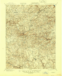
1901 Belair
Harford County, MD

1944 Norrisville
Harford County, MD
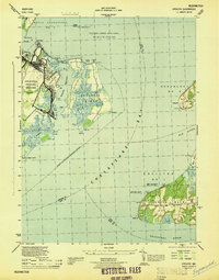
1944 Spesutie
Harford County, MD
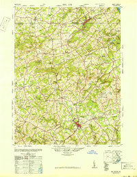
1948 Belair
Harford County, MD
1948 Spesutie
Harford County, MD
1949 Gunpowder Neck
Harford County, MD
1951 Gunpowder Neck
Harford County, MD
1953 Norrisville
Harford County, MD
1957 Norrisville
Harford County, MD
1963 Belair
Harford County, MD
1995 Gunpowder Neck
Harford County, MD
2023 Gunpowder Neck
Harford County, MD
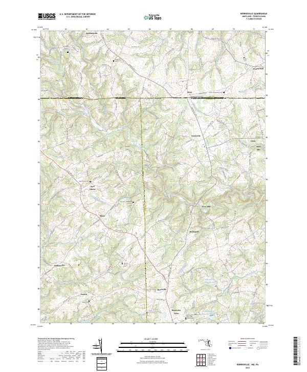
2023 Norrisville
Harford County, MD
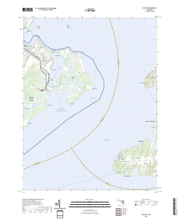
2023 Spesutie
Harford County, MD