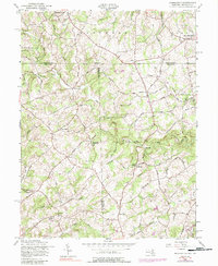
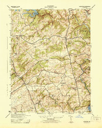
1957 Map of Norrisville
USGS Topo · Published 1988About this map
Gorsuch Mills and Harris Mill anchor a landscape defined by the winding course of Deer Creek and its many tributaries along the Pennsylvania-Maryland border. This survey illustrates a rural crossroads economy during the mid-20th century, where small hamlets like Norrisville, Stablersville, and West Liberty served local farming communities. The proliferation of named mills, including Amos Mill and Ivory Mill, speaks to the historical importance of water power in this region of Harford and York Counties.
Find a feature on this map
96 named features on this map. Tap any name to fly to it.
Don’t see what you’re looking for? This feature index may not catch every label — zoom into the map to look around manually.
Map Details
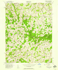
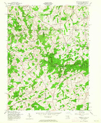
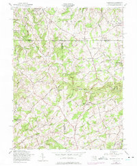
Editions of this 1957 Norrisville Map
4 editions found
Other maps of this area

1900 · Parkton
USGS Topo · 1:62,500

1901 · Belair
USGS Topo · 1:62,500

1902 · Parkton
USGS Topo · 1:62,500

1908 · York
USGS Topo · 1:62,500

1910 · York
USGS Topo · 1:62,500

1912 · Mc Calls Ferry
USGS Topo · 1:62,500

1942 · Bel Air
USGS Topo · 1:62,500

1943 · Mc Calls Ferry
USGS Topo · 1:62,500

1944 · New Freedom
USGS Topo · 1:31,680
1944 · Hereford
USGS Topo · 1:31,680