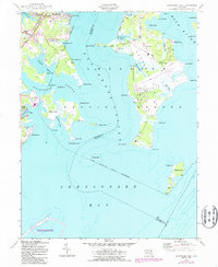
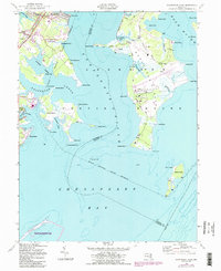
1949 Map of Gunpowder Neck
USGS Topo · Published 1987About this map
The Gunpowder Neck Proving Ground dominates the landscape where the Gunpowder River meets the Chesapeake Bay, illustrating the mid-century intersection of military operations and coastal geography. This area of Harford and Baltimore Counties features extensive military facilities, including numerous towers and a tipple, situated alongside natural landmarks like Pooles Island and Carroll Island. To the west, the expansion of post-war recreation and transit is evident at Miami Beach Park and the rail stops at Harewood Station and Chase Station along the Conrail line. The map highlights a complex aquatic network, from the tidal reaches of Saltpeter Creek and Dundee Creek to the conservation efforts at Gunpowder Falls State Park. These layers of land use—from the defense installations at Graces Quarters to the emerging Hart-Miller Pleasure Islands Natural Resources Mgt Area—document a coastline in transition between industrial defense and public recreation.
Find a feature on this map
56 named features on this map. Tap any name to fly to it.
Don’t see what you’re looking for? This feature index may not catch every label — zoom into the map to look around manually.
Map Details
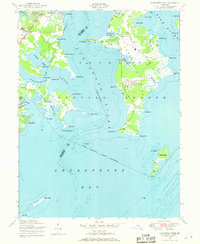
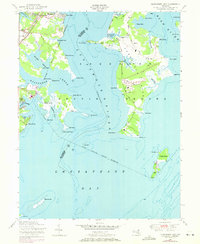
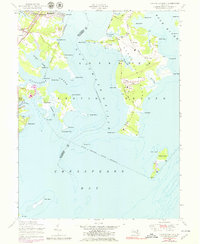
Editions of this 1949 Gunpowder Neck Map
5 editions found
Other maps of this area

1893 · North Point
USGS Topo · 1:62,500

1893 · Gunpowder
USGS Topo · 1:62,500

1898 · Tolchester
USGS Topo · 1:125,000

1900 · Betterton
USGS Topo · 1:62,500

1901 · Chestertown
USGS Topo · 1:62,500

1901 · Gunpowder
USGS Topo · 1:62,500

1903 · Tolchester
USGS Topo · 1:125,000

1904 · North Point
USGS Topo · 1:62,500

1908 · Tolchester
USGS Topo · 1:125,000

1920 · Chestertown
USGS Topo · 1:62,500