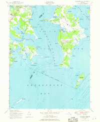
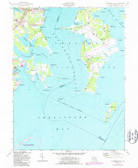
1949 Map of Gunpowder Neck
USGS Topo · Published 1969About this map
Gunpowder Neck dominates this mid-century maritime landscape, defined by a complex network of estuarine inlets and peninsulas where the Gunpowder River and Bush River meet the Chesapeake Bay. The terrain is shaped by tidal creeks like Watson Creek and Salt Peter Creek, while the northwestern corner shows the established community of Harewood Park near the Pennsylvania railroad line and Harewood Station.
Find a feature on this map
56 named features on this map. Tap any name to fly to it.
Don’t see what you’re looking for? This feature index may not catch every label — zoom into the map to look around manually.
Map Details
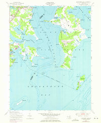
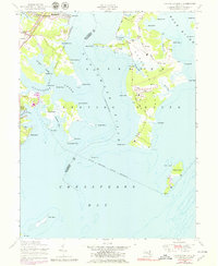
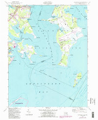
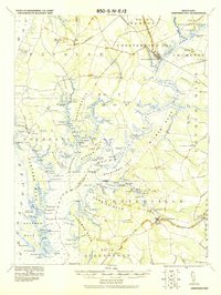
Editions of this 1949 Gunpowder Neck Map
5 editions found
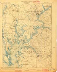
Other maps of this area

1893 · North Point
USGS Topo · 1:62,500

1893 · Gunpowder
USGS Topo · 1:62,500

1898 · Tolchester
USGS Topo · 1:125,000

1900 · Betterton
USGS Topo · 1:62,500
1901 · Chestertown
USGS Topo · 1:62,500

1901 · Gunpowder
USGS Topo · 1:62,500

1903 · Tolchester
USGS Topo · 1:125,000

1904 · North Point
USGS Topo · 1:62,500

1908 · Tolchester
USGS Topo · 1:125,000
1920 · Chestertown
USGS Topo · 1:62,500