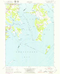
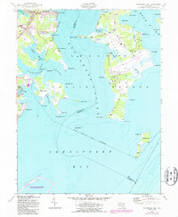
1949 Map of Gunpowder Neck
USGS Topo · Published 1979About this map
Gunpowder River dominates this mid-century survey of the Maryland coast, where military land use and recreation meet the tides of the Chesapeake Bay. The peninsula of Gunpowder Neck is defined by its extensive Military Reservation Boundary, showing a landscape of rifle ranges, towers, and infrastructure like the tipple on Seneca Creek. This specialized usage is contrasted by the residential developments of Miami Beach and Seneca Park to the west, and the arrival of Gunpowder Falls State Park. Further inland, the transportation corridor is clearly marked by the Penn Central railroad, connecting Harewood Station and Chase Station. Remote outposts such as Pooles Island, with its tower and lighthouse, anchor the southern waters, while the complex shorelines of Dundee Creek and Saltpeter Creek reflect the area's transition from private holdings to public and military oversight.
Find a feature on this map
61 named features on this map. Tap any name to fly to it.
Don’t see what you’re looking for? This feature index may not catch every label — zoom into the map to look around manually.
Map Details
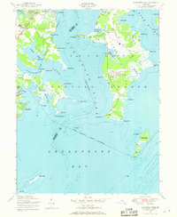
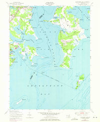
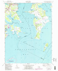
Editions of this 1949 Gunpowder Neck Map
5 editions found
Other maps of this area

1893 · North Point
USGS Topo · 1:62,500

1893 · Gunpowder
USGS Topo · 1:62,500

1898 · Tolchester
USGS Topo · 1:125,000

1900 · Betterton
USGS Topo · 1:62,500

1901 · Chestertown
USGS Topo · 1:62,500

1901 · Gunpowder
USGS Topo · 1:62,500

1903 · Tolchester
USGS Topo · 1:125,000

1904 · North Point
USGS Topo · 1:62,500

1908 · Tolchester
USGS Topo · 1:125,000

1920 · Chestertown
USGS Topo · 1:62,500