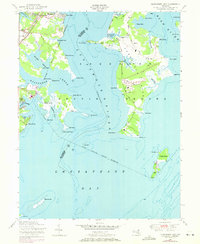
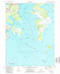
1949 Map of Gunpowder Neck
USGS Topo · Published 1971About this map
Aberdeen Proving Ground dominates this landscape along the Chesapeake Bay, illustrating the massive mid-century military footprint in Harford County. The map details a complex coastal geography where the Gunpowder River and Bush River meet the bay, surrounding the extensive Military Reservation. This high-security zone encompasses numerous points and islands, including Carroll Island, Graces Quarters, and the isolated Pooles Island, which features a lighthouse and several towers.
Find a feature on this map
62 named features on this map. Tap any name to fly to it.
Don’t see what you’re looking for? This feature index may not catch every label — zoom into the map to look around manually.
Map Details
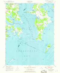
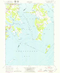
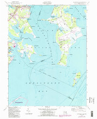
Editions of this 1949 Gunpowder Neck Map
5 editions found
Other maps of this area

1893 · North Point
USGS Topo · 1:62,500

1893 · Gunpowder
USGS Topo · 1:62,500

1898 · Tolchester
USGS Topo · 1:125,000

1900 · Betterton
USGS Topo · 1:62,500

1901 · Chestertown
USGS Topo · 1:62,500

1901 · Gunpowder
USGS Topo · 1:62,500

1903 · Tolchester
USGS Topo · 1:125,000

1904 · North Point
USGS Topo · 1:62,500

1908 · Tolchester
USGS Topo · 1:125,000

1920 · Chestertown
USGS Topo · 1:62,500