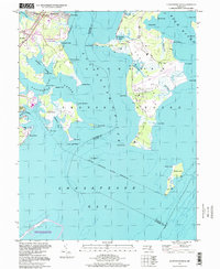
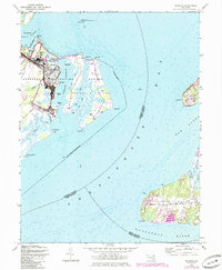
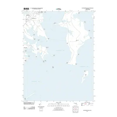
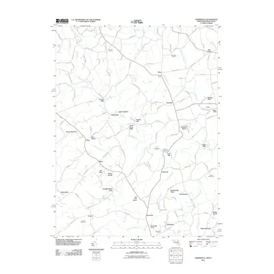
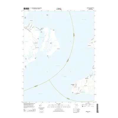
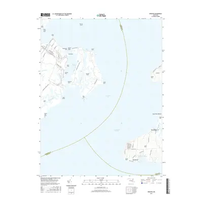
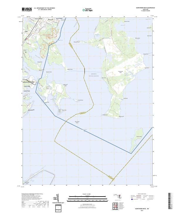
1995 Map of Gunpowder Neck
USGS Topo · Published 1999About this map
Gunpowder Neck dominates this coastal landscape at the confluence of the Gunpowder River and the Bush River. The map details a complex interface of military, recreational, and industrial geography, defined largely by the Aberdeen Proving Ground military reservation. This secure area contrasts with the developed shoreline of Harewood Park and the seasonal leisure atmosphere of Miami Beach.
Find a feature on this map
64 named features on this map. Tap any name to fly to it.
Don’t see what you’re looking for? This feature index may not catch every label — zoom into the map to look around manually.
Map Details
Editions of this 1995 Gunpowder Neck Map
This is the sole edition of this map. No revisions or reprints were ever made.
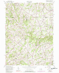
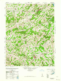
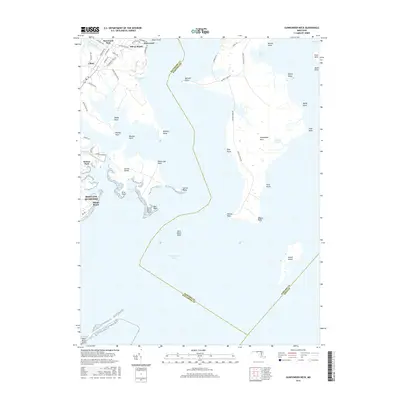
Historical Maps of Harford County Through Time
26 maps found
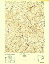
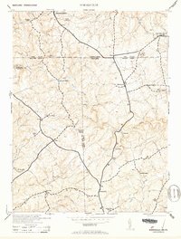
1901 Belair
Harford County, MD
1944 Norrisville
Harford County, MD
1944 Spesutie
Harford County, MD
1948 Belair
Harford County, MD
1948 Spesutie
Harford County, MD
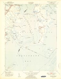
1949 Gunpowder Neck
Harford County, MD
1951 Gunpowder Neck
Harford County, MD
1953 Norrisville
Harford County, MD
1957 Norrisville
Harford County, MD
1963 Belair
Harford County, MD
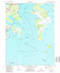
1995 Gunpowder Neck
Harford County, MD
2011 Gunpowder Neck
Harford County, MD
2011 Norrisville
Harford County, MD
2011 Spesutie
Harford County, MD
2014 Gunpowder Neck
Harford County, MD
2014 Norrisville
Harford County, MD
2014 Spesutie
Harford County, MD
2016 Gunpowder Neck
Harford County, MD
2016 Norrisville
Harford County, MD
2016 Spesutie
Harford County, MD
2019 Gunpowder Neck
Harford County, MD
2019 Norrisville
Harford County, MD
2019 Spesutie
Harford County, MD
2023 Gunpowder Neck
Harford County, MD
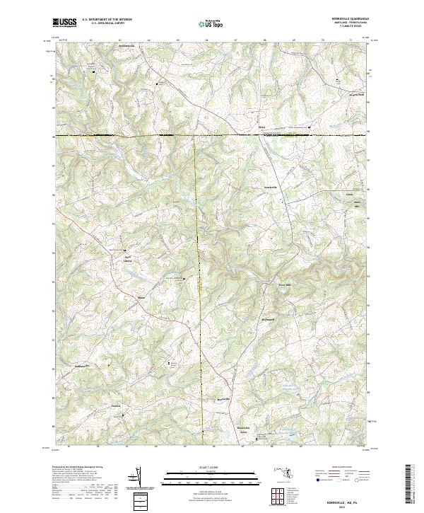
2023 Norrisville
Harford County, MD
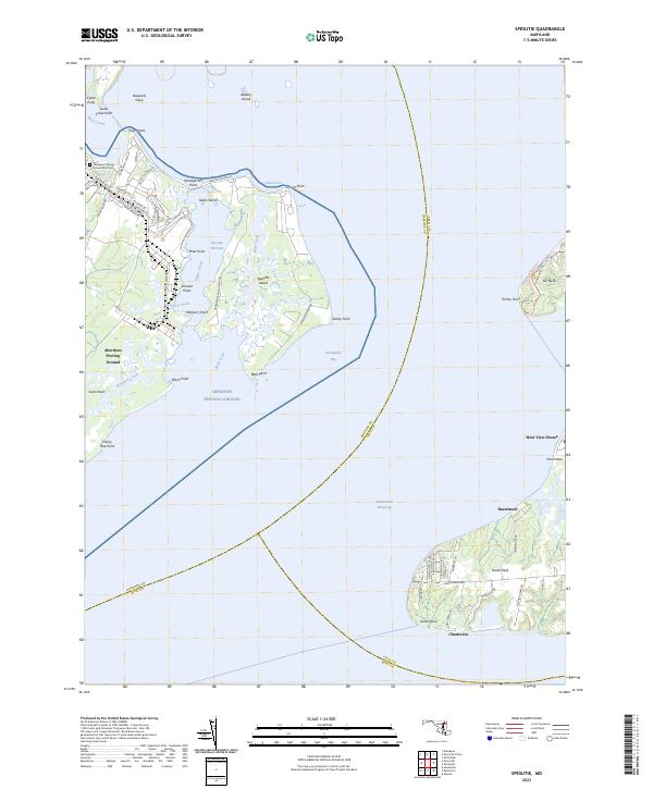
2023 Spesutie
Harford County, MD