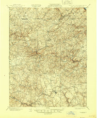
1901 Map of Belair
USGS Topo · Published 1945About this map
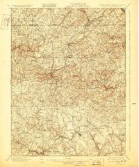
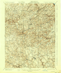
The Maryland and Pennsylvania railroad winds through the rolling hills of Harford County and York County, connecting a string of small agricultural and industrial communities at the turn of the century. This landscape is defined by the sharp descent from the Fawn and Peach Bottom uplands toward the Little Gunpowder Falls and Deer Creek, where the local economy centered on milling and mining. Evidence of the region’s mineral wealth is visible at the McIntyre Minefield near Cherry Hill, while the concentration of settlements like Cardiff and Whiteford near the Boundary Line highlights the significance of the cross-border slate industry. The town of Bel Air serves as a southern anchor, surrounded by established crossroads and family-named landmarks like Harkins, Street, and Gibson. The intricate network of small streams, including Bynum Run and Winters Run, reflects a topography that dictated the placement of early turnpikes and the rail line itself.
Find a feature on this map
77 named features on this map. Tap any name to fly to it.
Don’t see what you’re looking for? This feature index may not catch every label — zoom into the map to look around manually.
Map Details
Editions of this 1901 Belair Map
7 editions found
Other maps of this area

1893 · Gunpowder
USGS Topo · 1:62,500

1894 · Baltimore
USGS Topo · 1:62,500

1898 · Tolchester
USGS Topo · 1:125,000

1899 · Baltimore
USGS Topo · 1:62,500

1900 · Havre De Grace
USGS Topo · 1:62,500

1900 · Betterton
USGS Topo · 1:62,500

1900 · Parkton
USGS Topo · 1:62,500

1901 · Belair
USGS Topo · 1:62,500

1901 · Gunpowder
USGS Topo · 1:62,500

1902 · Parkton
USGS Topo · 1:62,500