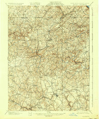
1901 Map of Belair
USGS Topo · Published 1937About this map
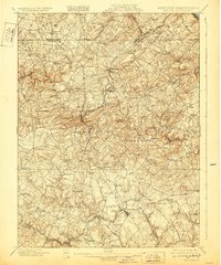
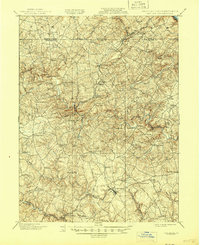
The Maryland and Pennsylvania RR winds through the hills of Harford County at the turn of the century, providing a vital transportation artery for rural communities like Forest Hill, Fallston, and Rocks. This survey, conducted by A.C. Roberts and W.N. Brown, documents the landscape just south of the Mason-Dixon line, where the terrain transitions from the Peach Bottom heights down toward the valley of the Little Gunpowder Falls.
Find a feature on this map
82 named features on this map. Tap any name to fly to it.
Don’t see what you’re looking for? This feature index may not catch every label — zoom into the map to look around manually.
Map Details
Editions of this 1901 Belair Map
7 editions found
Other maps of this area

1893 · Gunpowder
USGS Topo · 1:62,500

1894 · Baltimore
USGS Topo · 1:62,500

1898 · Tolchester
USGS Topo · 1:125,000

1899 · Baltimore
USGS Topo · 1:62,500

1900 · Havre De Grace
USGS Topo · 1:62,500

1900 · Betterton
USGS Topo · 1:62,500

1900 · Parkton
USGS Topo · 1:62,500

1901 · Belair
USGS Topo · 1:62,500

1901 · Gunpowder
USGS Topo · 1:62,500

1902 · Parkton
USGS Topo · 1:62,500