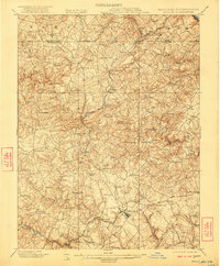
1901 Map of Belair
USGS Topo · Published 1922About this map
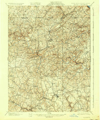
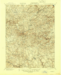
The Maryland and Pennsylvania Railroad snakes through the hilly terrain of Harford County at the turn of the century, connecting scattered agricultural and industrial outposts across the Mason-Dixon line. This 1900 survey captures the region's diverse economic landscape, from the extractive operations at the McIntyre Minefield to the small village centers of Jarrettsville and Fawn Grove. The geography is defined by a dense network of watercourses, most notably Deer Creek and Broad Creek, which carve deep valleys into the countryside.
Find a feature on this map
76 named features on this map. Tap any name to fly to it.
Don’t see what you’re looking for? This feature index may not catch every label — zoom into the map to look around manually.
Map Details
Editions of this 1901 Belair Map
7 editions found
Other maps of this area

1893 · Gunpowder
USGS Topo · 1:62,500

1894 · Baltimore
USGS Topo · 1:62,500

1898 · Tolchester
USGS Topo · 1:125,000

1899 · Baltimore
USGS Topo · 1:62,500

1900 · Havre De Grace
USGS Topo · 1:62,500

1900 · Betterton
USGS Topo · 1:62,500

1900 · Parkton
USGS Topo · 1:62,500

1901 · Belair
USGS Topo · 1:62,500

1901 · Gunpowder
USGS Topo · 1:62,500

1902 · Parkton
USGS Topo · 1:62,500