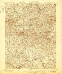
1901 Map of Belair
USGS Topo · Published 1929About this map
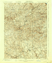
The Maryland and Pennsylvania RR winds through a landscape of rolling agricultural land and dispersed rural hamlets along the Mason-Dixon line. This 1901 survey captures the region's transition from a milling economy to a more interconnected rail-based trade system, centered on the complex of towns like Whiteford, Cambria, and Cardiff. The intricate drainage patterns of Deer Creek and Broad Creek dominate the terrain, supporting numerous early industry sites such as Clermont Mills and Mill Green.
Find a feature on this map
77 named features on this map. Tap any name to fly to it.
Don’t see what you’re looking for? This feature index may not catch every label — zoom into the map to look around manually.
Map Details
Editions of this 1901 Belair Map
7 editions found
Other maps of this area

1893 · Gunpowder
USGS Topo · 1:62,500

1894 · Baltimore
USGS Topo · 1:62,500

1898 · Tolchester
USGS Topo · 1:125,000

1899 · Baltimore
USGS Topo · 1:62,500

1900 · Havre De Grace
USGS Topo · 1:62,500

1900 · Betterton
USGS Topo · 1:62,500

1900 · Parkton
USGS Topo · 1:62,500

1901 · Belair
USGS Topo · 1:62,500

1901 · Gunpowder
USGS Topo · 1:62,500

1902 · Parkton
USGS Topo · 1:62,500